Mutton Cove, Biscoe Islands
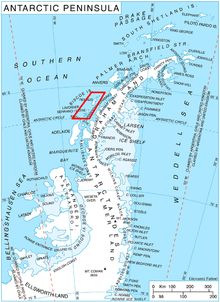
Mutton Cove (66°0′S 65°39′W / 66.000°S 65.650°WCoordinates: 66°0′S 65°39′W / 66.000°S 65.650°W) is an anchorage 0.9 km (0.56 mi) northeast of the south end of Beer Island in the Biscoe Islands, off the Antarctic Peninsula in Antarctica. The cove is formed by four small islands, Harp, Upper, Cliff and . Beer Island shelters the cove from the west. Charted in 1936 by the British Graham Land Expedition (BGLE) under Rymill and, at the suggestion of Lieutenant , Royal Navy, captain of the days in a training ship at Devonport.
 WikiMiniAtlas
![]() This article incorporates public domain material from the United States Geological Survey document: "Mutton Cove, Biscoe Islands". (content from the Geographic Names Information System)
This article incorporates public domain material from the United States Geological Survey document: "Mutton Cove, Biscoe Islands". (content from the Geographic Names Information System) ![]()
 | This Biscoe Islands location article is a stub. You can help Wikipedia by . |
- Coves of Graham Land
- Landforms of the Biscoe Islands
- Biscoe Islands geography stubs