Nöbdenitz
Nöbdenitz | |
|---|---|
Ortsteil of Schmölln | |
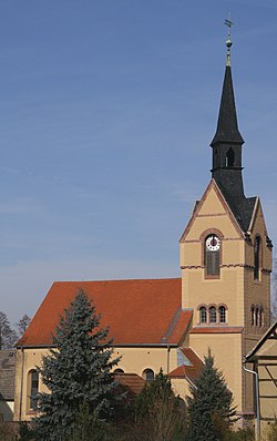 | |
show Location of Nöbdenitz | |
 Nöbdenitz | |
| Coordinates: 50°52′38″N 12°17′6″E / 50.87722°N 12.28500°ECoordinates: 50°52′38″N 12°17′6″E / 50.87722°N 12.28500°E | |
| Country | Germany |
| State | Thuringia |
| District | Altenburger Land |
| Town | Schmölln |
| Area | |
| • Total | 10.01 km2 (3.86 sq mi) |
| Elevation | 229 m (751 ft) |
| Population (2017-12-31) | |
| • Total | 857 |
| • Density | 86/km2 (220/sq mi) |
| Time zone | UTC+01:00 (CET) |
| • Summer (DST) | UTC+02:00 (CEST) |
| Postal codes | 04626 |
| Dialling codes | 034496 |
| Vehicle registration | ABG |
| Website | www.noebdenitz.de |


Nöbdenitz is a village and a former municipality in the district Altenburger Land, in Thuringia, Germany. Since 1 January 2019, it is part of the town Schmölln.

Geography[]
Neighboring municipalities[]
Municipalities near Nöbdenitz are Drogen, Löbichau, Posterstein, the city of Schmölln, Vollmershain, and Wildenbörten.
Municipal arrangement[]
The municipality of Nöbdenitz consists of 5 subdivisions: Nöbdenitz, Burkersdorf (in Schmölln), Lohma, Untschen, and Zagkwitz.
Business and transportation[]
Nöbdenitz has a train station on the line that goes from Gera to Gößnitz as well as to Altenburg.
History[]
Within the German Empire (1871–1918), Nöbdenitz was part of the Duchy of Saxe-Altenburg.
References[]
- ^ Huggler, Justin (5 Jun 2014). 'Oldest’ oak tree in Europe faces the axe. Daily Telegraph.
| Authority control |
|---|
This Altenburger Land location article is a stub. You can help Wikipedia by . |
Categories:
- Altenburger Land
- Duchy of Saxe-Altenburg
- Bezirk Leipzig
- Former municipalities in Thuringia
- Thuringia geography stubs