New Mexico State Road 418
 | ||||
|---|---|---|---|---|
 NM 418 highlighted in red | ||||
| Route information | ||||
| Length | 14.069 mi[2] (22.642 km) | |||
| Existed | Early 1950s[1]–present | |||
| History | Entire route is a former section of US 70 and US 80 | |||
| Major junctions | ||||
| West end | ||||
| East end | Spruce Street in Deming | |||
| Location | ||||
| Counties | Luna | |||
| Highway system | ||||
| ||||
New Mexico State Road 418 (NM 418) is a 14-mile-long (23 km) state-maintained highway in the southwestern corner of New Mexico, running from Interstate 10 (I-10) to an intersection with Spruce Street in Deming. Originally, NM 418 was a section of U.S. Route 80 (US 80), a transcontinental highway running from San Diego, California, to Tybee Island, Georgia, but was bypassed when a new section of US 80 (now I-10) was built between the current western terminus of NM 418 and Pine Street in Deming.
Route description[]

NM 418 is a short highway of only 14 miles (23 km) between I-10 near Gage and Spruce Street in Deming. The road starts at the north fence of the I-10 right of way at the interchange of exit 68.[2] The highway travels south for a short distance then immediately east through rural Luna County intersecting with former at Hermanas Road. This intersection was formerly the western terminus of NM 418. NM 418 continuing east was formerly part of NM 331.[3][4] At Doña Ana Road and County Road 61, NM 418 swings to the northeast. The highway then passes the western terminus of NM 427, which is known as Florida Street through Deming.[5] NM 418 enters the urban area of Deming at the intersection of 15th Street. Through the western part of Deming, NM 418 cuts a diagonal path through several residential intersections before reaching its eastern terminus at an intersection with Spruce Street.[2][3] When NM 418 was still part of US 80, the highway continued on a sweeping curve that merged into Spruce Street rather than the T shaped intersection that exists today. From there US 80 would have continued east on Spruce Street, later I-10 Business and NM 549 towards Las Cruces.[1]
History[]

In 1903, the New Mexico Territorial Legislative Assembly and Territorial Roads Commission established New Mexico Territorial Road 4, which became New Mexico State Road 4 in 1913.[6] NM 4 ran from Rodeo through Lordsburg and Deming to NM 1 in Las Cruces.[7] NM 4 was designated as part of the Dixie Overland Highway auto trail in 1917. The Dixie Overland Highway was the first marked route to run between Savannah, Georgia and southern California.[8] The auto trail entered New Mexico through El Paso, Texas, then traveled north to Mesilla Park where it turned west to Deming, Lorsburg and Steins, before heading south into Rodeo and southwest into Arizona towards Douglas.[9] By 1920, the Bankhead Highway also followed the majority of this route, further joined by the Old Spanish Trail in 1923.[8][10] On November 11, 1926, the highway was added to the newly created U.S. Highway System as U.S. Route 80.[8]
US 80 followed much of the same routing as the previous auto trails, but turned west at Las Cruces instead of Mesilla Park. Between 1930 and 1931, the highway between Deming and Gage was rebuilt onto a straighter diagonally shaped alignment, which remains the path NM 418 takes today. The original 90 degree shape the route took is now part of Doňa Ana Road and 8th Street.[1] In 1935, US 70 was extended west from Clovis to Los Angeles, California, becoming concurrent with US 80 between Las Cruces and Lordsburg.[11][12] US 70 and US 80 would continue to use this alignment well into the 1950s.[1] By 1956, US 70 and US 80 were placed on a new alignment further north.[13] The new alignment was later rebuilt into a section of Interstate 10 between Gage and Pine Street in Deming.[1] In 1989, US 80 was decommissioned from most of New Mexico. The remainder of the highway was removed from the state in 1991.[8] US 70 on the other hand was never removed from New Mexico and still runs through Las Cruces, Deming and Lordsburg to Arizona.[14] The bypassed 1931 route was at first re-designated as the entirety of NM 418 and a northern extension of . NM 418 originally ran from US 70/US 80 (later I-10) to an intersection with NM 331. The remainder of the route to Deming was served by NM 331.[4] By 1996, NM 331 had been truncated to its junction with NM 418 while the latter route had been extended along the former route of NM 331 to Spruce Street in Deming.[15]
Major intersections[]
The entire route is in Luna County.
| Location | mi[5] | km | Destinations | Notes | |
|---|---|---|---|---|---|
| | 0.000 | 0.000 | Western terminus; I-10 exit 68 | ||
| Deming | 13.129 | 21.129 | Western terminus of NM 427 | ||
| 14.069 | 22.642 | Spruce Street | Eastern terminus; former US 80 east | ||
| 1.000 mi = 1.609 km; 1.000 km = 0.621 mi | |||||
References[]
- ^ a b c d e Jensen, Jeff (2013). Drive the Broadway of America!. Tucson, Arizona: Bygone Byways. ISBN 9780978625900.
- ^ a b c "Posted Route–Legal Description" (PDF). New Mexico Department of Transportation. March 16, 2010. p. 20. Retrieved October 17, 2018.
- ^ a b Google (October 17, 2018). "Map of New Mexico State Road 418" (Map). Google Maps. Google. Retrieved October 17, 2018.
- ^ a b United States Geological Survey (1965). Bowlin Ranch, NM (PDF) (Topographic map). 1:24,000. 7.5 Minute Series. Reston, VA: United States Geological Survey. Retrieved December 27, 2018.
- ^ a b "TIMS Road Segments by Posted Route/Point with AADT Info; NM, NMX-Routes" (PDF). New Mexico Department of Transportation. April 3, 2013. p. 22. Retrieved October 17, 2018.
- ^ "State of New Mexico Memorial Designations and Dedications of Highways, Structures and Buildings" (PDF). Santa Fe, New Mexico: New Mexico Department of Transportation. 2009: 19. Archived from the original (PDF) on October 29, 2017. Retrieved October 19, 2018 – via Internet Archive. Cite journal requires
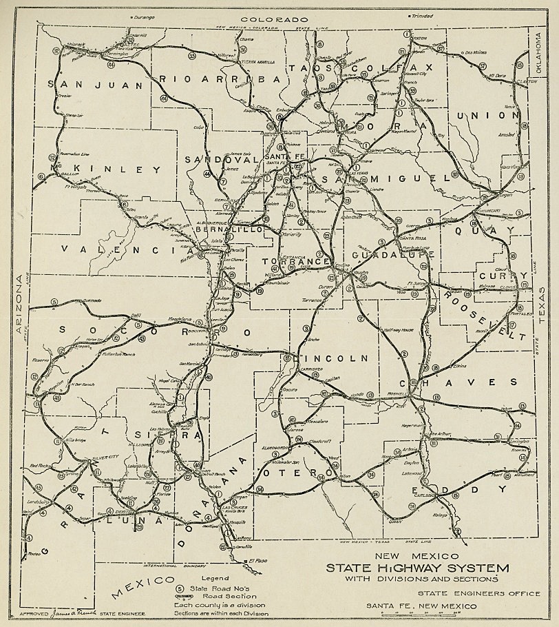
|journal=(help) - ^ New Mexico State Engineer's Office (1914). New Mexico State Highway System With Divisions and Sections (JPEG) (Map). 1:1,900,800. Santa Fe, New Mexico. Retrieved October 18, 2018.
- ^ a b c d Weingroff, Richard F. (October 17, 2013). "U.S. Route 80: The Dixie Overland Highway". Highway History. Federal Highway Administration. Retrieved October 17, 2018.
- ^ Rand McNally and Company (1924). "District Number 17, (Utah, Colorado, New Mexico, Arizona)" (Map). Commercial Atlas of America. Rand McNally AutoTrails Map. 1:2,290,000. Rand McNally and Company. pp. 428 and 429. Retrieved October 17, 2018.
- ^ Laskow, Sarah. "Resurrecting the Original Road Trip on Americas' Ghost Highway". Atlas Obscura. Retrieved October 17, 2018.
- ^ California Department of Highways (1936). Road Map of California (Map) (1936-1937 ed.). c. 1:1,874,880. Chicago: Rand McNally. p. 2. Los Angeles and Vicinity inset.
- ^ Wallace, Laurel T. (October 2004). "Historic Highways in the NMDOT System" (PDF) (PDF). NMDOT Technical Series. 2004–1. Santa Fe, New Mexico. Retrieved October 18, 2018 – via New Mexico Department of Transportation. Cite journal requires
|journal=(help) - ^ Shell Oil Company; H.M. Gousha Company (1956). Shell Highway Map of New Mexico (Map). 1:1,393,920. Chicago: Shell Oil Company. Retrieved October 17, 2017 – via David Rumsey Map Collection.
- ^ "Posted Route–Legal Description (US Routes)" (PDF). New Mexico Department of Transportation. March 16, 2010. p. 6. Retrieved October 24, 2018.
- ^ United States Geological Survey (1996). Bowlin Ranch, NM (PDF) (Topographic map). 1:24,000. 7.5 Minute Series. Reston, VA: United States Geological Survey. Retrieved December 27, 2018.
External links[]
 Geographic data related to New Mexico State Road 418 at OpenStreetMap
- Bygone Byways
- US Highway 80 The Broadway of North America
- American Roads U.S. Highway 80
Route map:

| ( • help)
|
- State highways in New Mexico
- Transportation in Luna County, New Mexico
- U.S. Route 80
- U.S. Route 70