North Fork Big Thompson River
| North Fork Big Thompson River[1] | |
|---|---|
 | |
 Location of mouth | |
| Physical characteristics | |
| Source | |
| • coordinates | 40°29′20″N 105°38′38″W / 40.48889°N 105.64389°W |
| • elevation | 13,120 ft (4,000 m) |
| Mouth | |
• location | Confluence with Big Thompson |
• coordinates | 40°25′57″N 105°20′20″W / 40.43250°N 105.33889°WCoordinates: 40°25′57″N 105°20′20″W / 40.43250°N 105.33889°W |
• elevation | 6,152 ft (1,875 m) |
| Basin features | |
| Progression | Big Thompson South Platte—Platte Missouri—Mississippi |

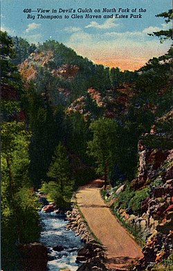
The North Fork Big Thompson River is a 22.7-mile-long (36.5 km)[2] tributary of the Big Thompson River in Larimer County, Colorado. The river's source is Rowe Glacier on the north slope of Hagues Peak, in the Mummy Range of Rocky Mountain National Park. It flows through Lake Dunraven, over Lost Falls and through Glen Haven before a confluence with the Big Thompson in Drake.
See also[]
References[]
- ^ "North Fork Big Thompson River". Geographic Names Information System. United States Geological Survey. Retrieved 2011-02-03.
- ^ U.S. Geological Survey. National Hydrography Dataset high-resolution flowline data. The National Map, accessed March 25, 2011
This article related to a river in Colorado is a stub. You can help Wikipedia by . |
Categories:
- Rivers of Rocky Mountain National Park
- Rivers of Larimer County, Colorado
- Tributaries of the Platte River
- Colorado river stubs