Open Book (Tahquitz)
| Open Book | |
|---|---|
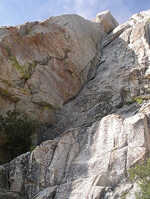 The first two pitches follow the obvious corner. | |
| Location | Tahquitz Peak, California, United States |
| Coordinates | 33°45′38″N 116°41′06″W / 33.7605°N 116.685°W |
| Climbing Area | Tahquitz Rock |
| Route Type | Trad |
| Vertical Gain | 300 feet |
| Pitches | 3 |
| Grade | 5.9 |
| First ascent | John Mendenhall & Harry Sutherland, 1947. |
| First free ascent | Royal Robbins & , 1952. |

Open Book is a technical rock climbing route at Tahquitz Rock, in Riverside County, California.[1] Since the Yosemite Decimal System was developed at Tahquitz it is no coincidence that the first climb to be rated 5.9, Open Book, is also located at Tahquitz. In 1952, when Royal Robbins climbed it free, it was one of the most difficult free ascents in the country.
References[]
- ^ Randy Vogel (1993). Rock Climber's Guide to Tahquitz and Suicide (2nd ed.). Falcon. ISBN 0-934641-31-5.
External links[]
Categories:
- Climbing routes