Outes
Outes | |
|---|---|
 | |
 Coat of arms | |
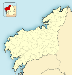
 Location of Outes | |
 Outes Location in Spain | |
| Coordinates: 42°51′N 8°54′W / 42.850°N 8.900°W | |
| Country | |
| Autonomous community | |
| Province | A Coruña |
| Government | |
| Area | |
| • Total | 99.7 km2 (38.5 sq mi) |
| Highest elevation | 531 m (1,742 ft) |
| Lowest elevation | 0 m (0 ft) |
| Population (2018)[1] | |
| • Total | 6,412 |
| • Density | 64/km2 (170/sq mi) |
| Demonym(s) | outiense |
| Time zone | UTC+1 (CET) |
| • Summer (DST) | UTC+2 (CEST) |
| Website | Official website |


Outes is a municipality in the province of A Coruña in the autonomous community of Galicia in northwestern Spain. It has a population of 6,155 (Spanish 2020 Census)[2] and an area of 100 km².
The happened in 1994 within the boundaries of Cando, in the parish of San Tirso. The municipality has five peaks ranging over 500 m, the highest being Monte Tremuzo.
References[]
- ^ Municipal Register of Spain 2018. National Statistics Institute.
- ^ "Coruña, A: Población por municipios y sexo. (2868)". INE (in Spanish). Retrieved 2021-08-20.
| Wikimedia Commons has media related to Outes. |
Coordinates: 42°51′N 8°54′W / 42.850°N 8.900°W
This article about a location in the autonomous community of Galicia, Spain is a stub. You can help Wikipedia by . |
Categories:
- Municipalities in the Province of A Coruña
- Galicia (Spain) geography stubs