Owlshead Peak
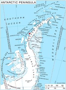
Owlshead Peak (66°19′S 65°49′W / 66.317°S 65.817°WCoordinates: 66°19′S 65°49′W / 66.317°S 65.817°W) is a peak 1.5 nautical miles (2.8 km) east of Cape Bellue on Stresher Peninsula on the west coast of Graham Land. Photographed by the Falkland Islands and Dependencies Aerial Survey Expedition (FIDASE) in 1956–57, and roughly surveyed by the Falkland Islands Dependencies Survey FIDS from "Detaille Island", 1956-59. The name is descriptive of the feature when seen from Crystal Sound and Darbel Bay.
 WikiMiniAtlas
External links[]
- Owlshead Peak on USGS website
- Owlshead Peak on AADC website
- Owlshead Peak on SCAR website
- distance calculator between Owlshead Peak and nearby sites
- current up to date weather at Owlshead Peak
References[]
![]() This article incorporates public domain material from the United States Geological Survey document: "Owlshead Peak". (content from the Geographic Names Information System)
This article incorporates public domain material from the United States Geological Survey document: "Owlshead Peak". (content from the Geographic Names Information System) ![]()
This Loubet Coast location article is a stub. You can help Wikipedia by . |
- Mountains of Graham Land
- Loubet Coast
- Loubet Coast geography stubs