Packsaddle Grove
| Packsaddle Grove | |
|---|---|
 | |
| Geography | |
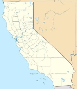
| Location | Tulare County, California, United States |
| Coordinates | 35°55′26″N 118°35′34″W / 35.923889°N 118.592778°WCoordinates: 35°55′26″N 118°35′34″W / 35.923889°N 118.592778°W |
| Elevation | 6,760 ft (2,060 m) |
| Ecology | |
| Dominant tree species | Sequoiadendron giganteum |

Packsaddle Grove is a medium-sized sequoia grove on Giant Sequoia National Monument located in the South Creek of the Kern River watershed. It is a fairly wet grove as it straddles Packsaddle Creek and its tributaries.
This compact grove offers a rare look at a truly old growth forest where California condors have lived, and may once again do. The main access to this grove is via dirt roads and cross-country hiking. The terrain is steep, so it's a difficult hike. You can only visit this grove in the summer when the roads are open. The main option for seeing the grove itself is to hike cross-country through it.
Noteworthy trees[]
- Packsaddle Giant, with a volume of approx. 32,156 cubic feet (910.6 m3) and the fourth-largest ground perimeter of any sequoia at 107 feet (33 m). The exact location of the tree is not publicly known but is nonetheless the largest giant sequoia south of Stagg.
- Candelabra Tree, with a volume of 26,341 cubic feet (745.9 m3), It has many large limbs that lead to a great crown of foliage.
- Ghost Tree (sometimes referred to as General Lee Tree, of which however exist several in different groves), a once much larger tree with a heavily broken top, but growing a new top shoot (leader). This tree has a volume of 25,047 cubic feet (709.3 m3).
See also[]
References[]
http://www.fs.fed.us/r5/sequoia/recreation/giant_sequoia_groves.html#packsaddle
Categories:
- Giant sequoia groves
- Protected areas of Tulare County, California
- Sequoia National Forest