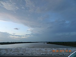
Parbati River (Madhya Pradesh)
| Parbati River | |
|---|---|
 | |
| Location | |
| Country | India |
| States | Madhya Pradesh and Rajasthan |
| Physical characteristics | |
| Source | near |
| • location | in Sehore District in Madhya Pradesh |
| • elevation | 610 m (2,000 ft) |
| Mouth | Chambal River |
• location | near Palin village Sawai Madhopur District in Rajasthan |
| Length | 471 km (293 mi) |
Parbati River is a river in Madhya Pradesh, India that flows into the Chambal River.[1] The river rises at a height of 610 m in the Vindhya range in Sehore district madhya pradeshRajasthan and runs for 471 km.[citation needed] It is one of the Chambal River's three main tributaries, along with the Banas River and the Kali Sindh River.[2] Ramgarh crater is located on its eastern bank.[citation needed]
See also[]
- Geology of Vindhyachal
References[]
- ^ Pratiyogita Darpan, August, 2007; p. 268
- ^ Ram Narayan Yadava (2003). Water resources system operation: proceedings of the International Conference on Water and Environment (WE-2003), December 15-18, 2003, Bhopal, India. Allied Publishers. pp. 545–546. ISBN 978-81-7764-548-4. Retrieved 1 May 2011.
External links[]
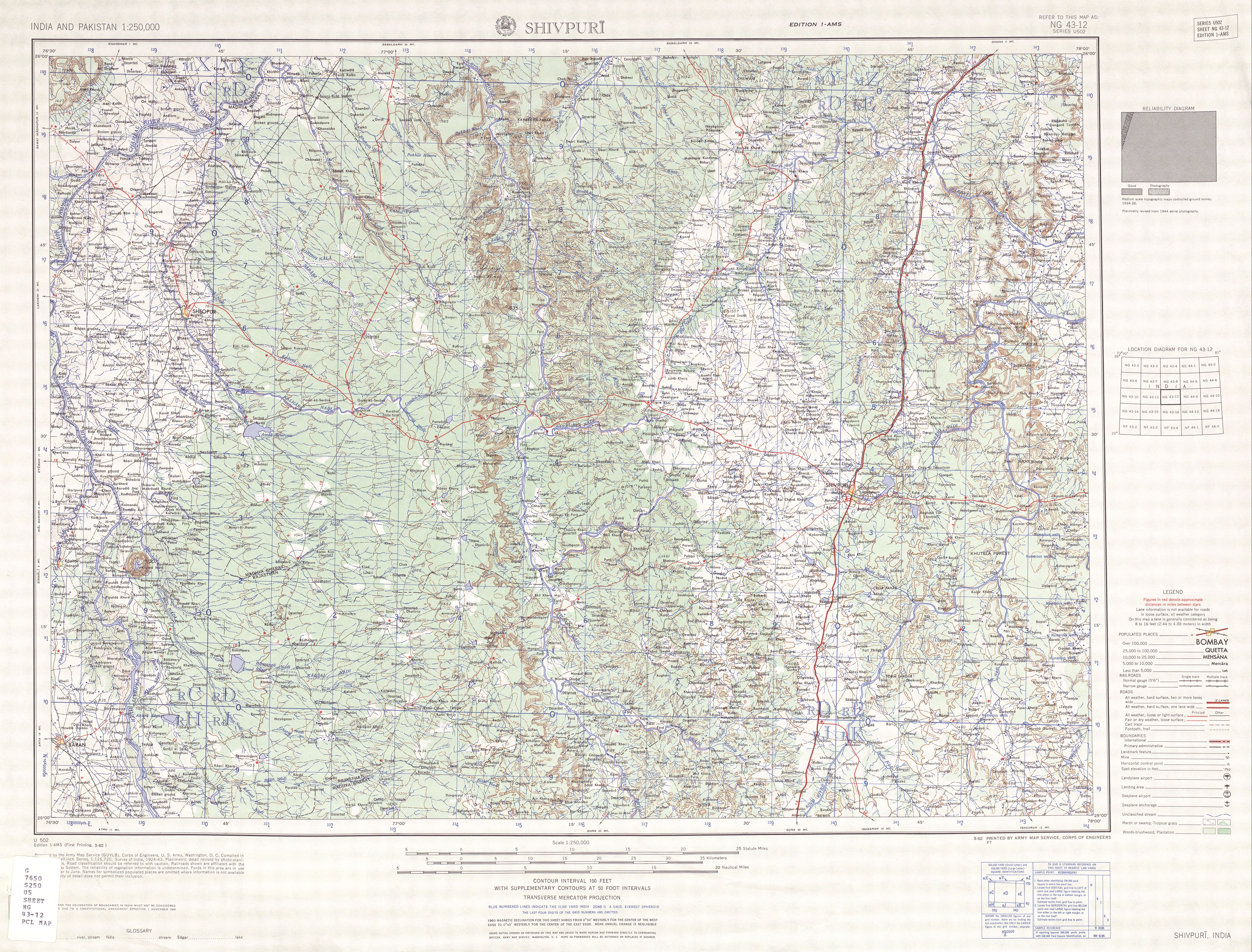
- Shrivpuri, topographic map showing the Parbati-Chambal confluence.
Coordinates: 25°50′40″N 76°33′48″E / 25.84444°N 76.56333°E

This article related to a location in Madhya Pradesh is a stub. You can help Wikipedia by . |
Categories:
- Rivers of Madhya Pradesh
- Geography of Malwa
- Rivers of India
- Madhya Pradesh geography stubs
- India river stubs