Römerberg
Römerberg | |
|---|---|
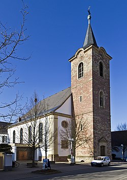 Church of Saint Sigismund in Heiligenstein | |
 Coat of arms | |
show Location of Römerberg within Rhein-Pfalz-Kreis district | |
 Römerberg | |
| Coordinates: 49°17′14″N 8°23′52″E / 49.28722°N 8.39778°ECoordinates: 49°17′14″N 8°23′52″E / 49.28722°N 8.39778°E | |
| Country | Germany |
| State | Rhineland-Palatinate |
| District | Rhein-Pfalz-Kreis |
| Municipal assoc. | Römerberg-Dudenhofen |
| Subdivisions | 3 |
| Government | |
| • Mayor (2019–24) | Matthias Hoffmann[1] (Greens) |
| Area | |
| • Total | 27.86 km2 (10.76 sq mi) |
| Elevation | 108 m (354 ft) |
| Population (2020-12-31)[2] | |
| • Total | 9,809 |
| • Density | 350/km2 (910/sq mi) |
| Time zone | UTC+01:00 (CET) |
| • Summer (DST) | UTC+02:00 (CEST) |
| Postal codes | 67354 |
| Dialling codes | 06232 |
| Vehicle registration | RP |
| Website | www.roemerberg.de |


Römerberg is a municipality in the Rhein-Pfalz-Kreis, in Rhineland-Palatinate, Germany. It is situated on the left bank of the Rhine, approximately 5 kilometres (3.1 mi) southwest of Speyer.
History[]
The municipality of Römerberg was established by the fusion of the municipalities of Berghausen, Heiligenstein and Mechtersheim in 1969. The seat of the municipality is in the village Heiligenstein.
References[]
- ^ Direktwahlen 2019, Rhein-Pfalz-Kreis, Landeswahlleiter Rheinland-Pfalz, accessed 4 August 2021.
- ^ "Bevölkerungsstand 2020, Kreise, Gemeinden, Verbandsgemeinden". Statistisches Landesamt Rheinland-Pfalz (in German). 2021.
| show Towns and municipalities in Rhein-Pfalz-Kreis |
|---|
| Authority control |
|---|
This Rhein-Pfalz-Kreis location article is a stub. You can help Wikipedia by . |
Categories:
- Municipalities in Rhineland-Palatinate
- Rhein-Pfalz-Kreis
- Rhineland-Palatinate geography stubs