Ramírez Island
Native name: Isla Ramírez | |
|---|---|
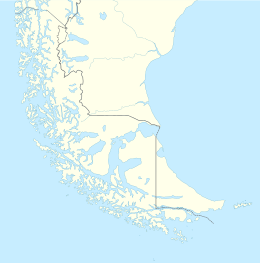 Ramírez Island Ramírez Island, at the west side of the Queen Adelaide Archipelago | |
| Geography | |
| Coordinates | 51°49′S 75°01′W / 51.82°S 75.01°WCoordinates: 51°49′S 75°01′W / 51.82°S 75.01°W |
| Adjacent bodies of water | Pacific Ocean |
| Area | 163.2 km2 (63.0 sq mi) |
| Length | 24 km (14.9 mi) |
| Width | 10 km (6 mi) |
| Coastline | 80.7 km (50.14 mi) |
| Highest point | Bloxam (610m) |
| Administration | |
| Region | |
| Province | Última Esperanza Province |
| Commune | Puerto Natales |
| Additional information | |
| NGA UFI=-898687 | |

Ramirez Island is an island in the Queen Adelaide Archipelago, located west of and Rennell Islands and south of Nelson Strait.
Not to be confused with Diego Ramírez Islands, southwest of Cape Horn, that are the southernmost part of America.
See also[]
External links[]
- Islands of Chile @ United Nations Environment Programme
- World island information @ WorldIslandInfo.com
- South America Island High Points above 1000 meters
- United States Hydrographic Office, South America Pilot (1916)
This Magallanes and Antártica Chilena Region location article is a stub. You can help Wikipedia by . |
Categories:
- Queen Adelaide Archipelago
- Islands of Magallanes Region
- Magallanes y la Antártica Chilena Region geography stubs