Ramanathapura, Hassan
This article needs additional citations for verification. (January 2019) |
Ramanathapura | |
|---|---|
village | |
 Ramanathapura | |
| Coordinates: Coordinates: 12°36′57″N 76°04′46″E / 12.61576°N 76.07932°E | |
| Country | |
| State | Karnataka |
| District | Hassan |
| Taluk | Arkalgud |
| Elevation | 849 m (2,785 ft) |
| Population (2011) | |
| • Total | 1,578 |
| Languages | |
| • Official | Kannada |
| Time zone | UTC+5:30 (IST) |

Ramanathapura is a village in Hassan district of Karnataka state, India.
Subramanyia Temple area
Location[]
Ramanathapura is located between Konanoor and Saligrama towns.
Administration[]
Ramanathapura is part of the Arkalgud taluk which is again part of Hassan district of Karnataka.
Post office[]
There is a post office at Ramanathapura and the postal code is 573133.[1]
Educational organizations[]
- HMS Padavi Purva College
- BSS Junior College
- Kuvempu School
- JSP School
- GHP School
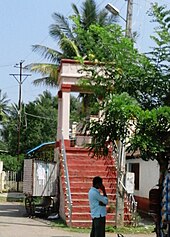
Gallery[]

Hiddamma temple
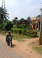
Siradanahalli

Basavapatna


See also[]
References[]
Categories:
- Cities and towns in Hassan district