Rip, Talhar, Badin
Rip | |
|---|---|
Village | |
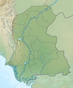 Rip Location in Sindh | |
| Coordinates: 24°47′22″N 68°47′51″E / 24.789472°N 68.797387°ECoordinates: 24°47′22″N 68°47′51″E / 24.789472°N 68.797387°E[1] | |
| Country | Pakistan |
| Region | Sindh |
| District | Badin |
| Population (2017)[2] | |
| • Total | 3,219 |
| Time zone | UTC+5 (PST) |
| • Summer (DST) | UTC+6 (PDT) |


Rip is a village and deh in of Badin District, Sindh.[3] As of 2017, it has a population of 3,219, in 678 households.[2] It is part of the of .[2]
References[]
- ^ Search for "Rip" here https://geonames.nga.mil/namesgaz/. Missing or empty
|title=(help) - ^ a b c Population and household detail from block to tehsil level (Badin District) (PDF). 2017. p. 33. Retrieved 5 May 2021.
- ^ "List of Dehs in Sindh" (PDF). Sindh Zameen. Retrieved 4 May 2021.
This Sindh location article is a stub. You can help Wikipedia by . |
Categories:
- Populated places in Badin District
- Sindh geography stubs