Samuha

Šamuḫa (sited at , c. 40 km west of Sivas, on the northern bank of Kizil Irmak) was a city of the Hittites, a religious centre and for a few years military capital for the empire. Samuha's faith was syncretistic. in 1976 called Samuha the "religious foyer of the Hittite Empire".
History[]
Samuha was a primary base of field operations for the Hittites while the Kaskas were plundering the Hatti heartland, including the historic capital Hattusa, during the 14th century BC under kings Tudhaliya I-III and Suppiluliuma I. During this period, the religions of Samuha and Sapinuwa became influenced by the faith of the Hurrians.
Excavations at Sapinuwa have revealed that at the beginning of this time, Sapinuwa held the archives for the kingdom. Under either Tudhaliya I or Tudhaliya II, Sapinuwa was burnt. Hattusili III later recorded of this time that Azzi had "made Samuha its frontier".
Samuha then became the base for the reconquests of Tudhaliya III and his then-general Suppiluliuma. The Deeds of Suppiluliuma report that he brought Kaska captives back to Samuha after a campaign toward Hayasa (connected somehow with Azzi) on Tudhaliya's behalf. Tudhaliya III himself centralised the faith of Kizzuwatna to Samuha.
(Mursili further records in his annals that when Suppiluliuma was king, the invaded the land of the Kassiyans near "Sammaha". Some translators think that this may be a Late Hittite pronunciation of "Samuha"; compare the mid 14th century BC "Suppiluliuma I" with late 13th century BC "Suppiluliama". However, elsewhere and Kassiya are not associated with Samuha. Mursili in his fifth year – c. 1317 BC – moved to the city of Ziulila in the vicinity of Sammaha to rescue the Kassiyans.)
Mursili appointed his youngest son Hattusili III priest of the Sausga / Ishtar in Samuha. The Hittites of Hattusa apparently remembered the goddess of Samuha as a protective deity.
Samuha disappears from the historical record after Hattusili III.[citation needed]
Location[]
Scholars are divided on the location of Samuha.[1] Some maintain it was on the banks of the Euphrates river. Others believe it was located on the Halys river, presently called the Kızılırmak River. The Kızılırmak River is closer to Hattusa. Its headwaters are near the city of Sivas, 130 miles (209 km) away. The river flows to the east, south of Hattusa, then heads northward on the east of Hattusa, discharging into the Black Sea. The Euphrates location is reflected in the GPS coordinates above. Hittite records indicate that Samuha was located on a navigable river, which tends to support the Euphrates location. Oliver Gurney notes in the above-cited work that the Halys river is also navigable in sections. He favors the Euphrates location, noting that the Murad Su, the present day Murat River had river traffic in 1866. The Murat river is a tributary of the Euphrates river. Both proposed locations are south of the Kaskian incursion that overtook Hattusa and required the Hittite leadership to move to Samuha.
Meanwhile, excavations by Andreas and Vuslat Müller-Karpe in Kayalıpinar have revealed cuneiform archives that strongly connect the site's identity with Samuha (Andreas Müller-Karpe: Kayalıpınar in Ostkappadokien. Ein neuer hethitischer Tontafelfundplatz. In: Mitteilungen der Deutschen Orientgesellschaft 132, 2000; Andreas and Vuslat Müller-Karpe: Untersuchungen in Kayalıpınar 2019. In: Mitteilungen der Deutschen Orientgesellschaft. 152, 2020, pp. 191-235).
Furthermore, Mursili II talks of stopping in Samuha on his way home from the Kaska lands in his Ten Year Annals (KBo 34 iii 45), which would argue strongly against a location on or near the Euphrates. Gurney and Garstang (1959, pp. 35ff) provide a more extended discussion about how Hittite documents seem to contradict a location for Samuha along the Euphrates, locating it instead along the Kizilirmak near modern Sivas, perhaps at Zara.
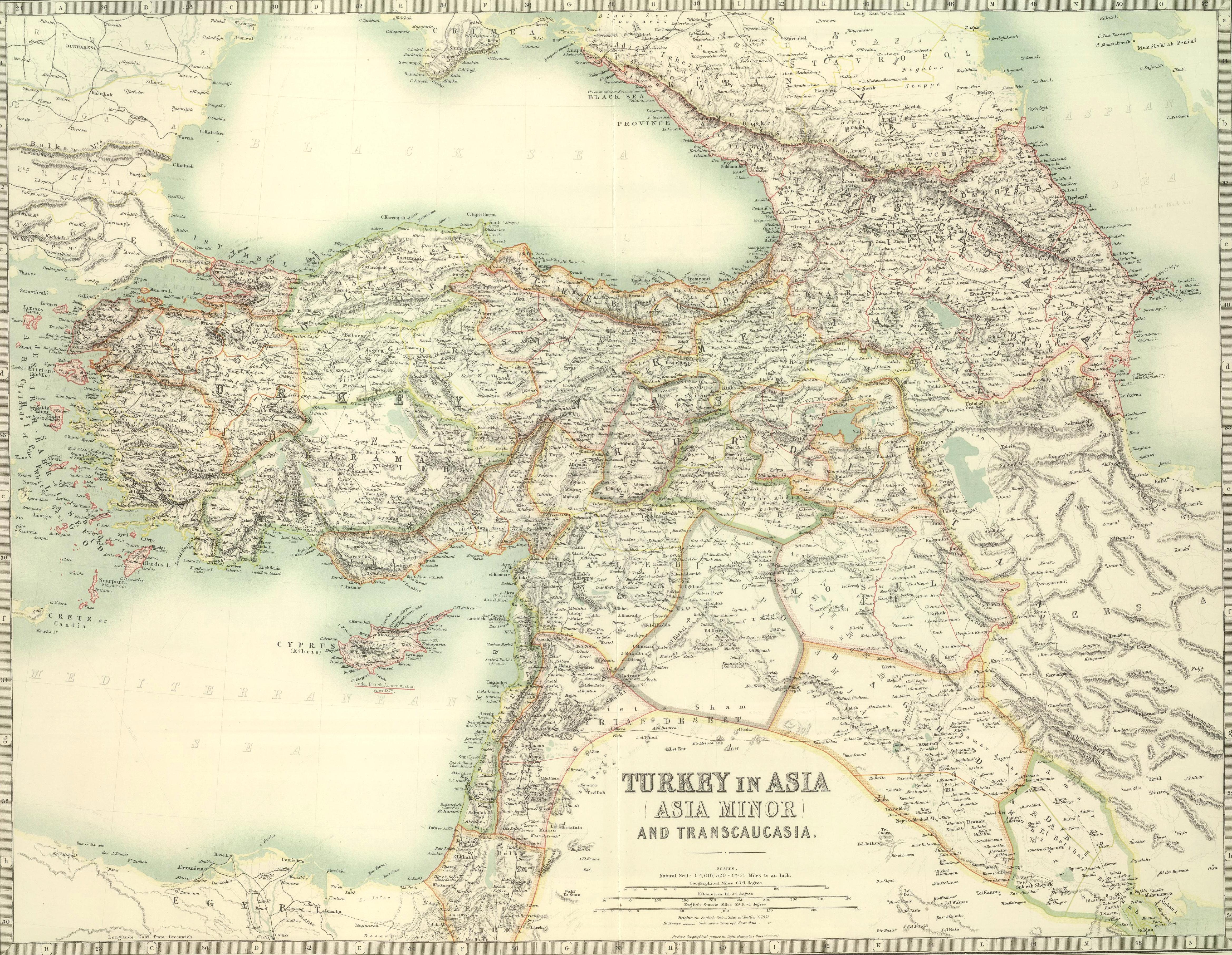
They further point out there that the town of Pittiyariga, often mentioned in the same texts as Samuha, which is associated with the upper Euphrates areas, must be further east yet (perhaps the modern Pekeridj, shown in early maps just east-north-east of Erzingan/[[Erzincan](originally Erez, perhaps the Hittite Arziya mentioned in close conjuction with Pittiyariga and Samuha?) in old maps https://upload.wikimedia.org/wikipedia/commons/b/ba/W._%26_A.K._Johnston._Asia_Minor._1911_A.jpg ). [2] But note that this puts us back in the upper Euphrates.
Coordinates: 39°37′N 36°31′E / 39.617°N 36.517°E

References[]
- ^ Gurney O.R. The Upper Land, matum elitum // Hittite Studies in Honor of Harry A. Hoffner Jr. On the Occasion of His 65th Birthday. Eds. Gregory McMahon and Gary M. Beckman. Winona Lake, 2003. P. 123-125
- ^ J. Garstang and O. R. Gurney The Geography of the Hittite Empire. British Institute of Archeology at Ankara, 1959
- Hittite cities
- Former populated places in Turkey