San Joaquin (Equatorial Guinea)
| San Joaquin | |
|---|---|
| Pico Biao Pico do Moka | |
 San Joaquin Location in Equatorial Guinea | |
| Highest point | |
| Elevation | 2,009 m (6,591 ft)[1] |
| Coordinates | 3°21′N 8°38′E / 3.35°N 8.63°ECoordinates: 3°21′N 8°38′E / 3.35°N 8.63°E[1] |
| Geography | |
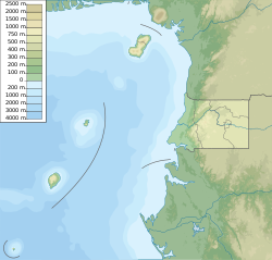
| Location | Bioko, Equatorial Guinea |
| Geology | |
| Mountain type | Shield volcano |
| Last eruption | Unknown[1] |

San Joaquin is a forested basaltic shield volcano forming the southeastern corner of Equatorial Guinea's Bioko Island. Its summit contains a small lake-filled caldera and its northeastern flank is home to a crater lake. The geologic history of San Joaquin is poorly known but the International Association of Volcanology and Chemistry of the Earth's Interior has classified the volcano as having been active in the last 2,000 years.[1]
See also[]
References[]
- ^ a b c d "San Joaquin". Global Volcanism Program. Smithsonian Institution. Retrieved 2019-11-02.
This Equatorial Guinea location article is a stub. You can help Wikipedia by . |
Categories:
- Shield volcanoes of Equatorial Guinea
- Polygenetic shield volcanoes
- Calderas of Africa
- Equatorial Guinea geography stubs