Sankt Oswald bei Plankenwarth
Sankt Oswald bei Plankenwarth | |
|---|---|
 Coat of arms | |
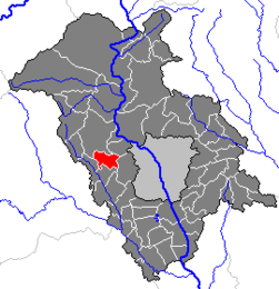 Location within Graz-Umgebung district | |
 Sankt Oswald bei Plankenwarth Location within Austria | |
| Coordinates: 47°04′47″N 15°16′47″E / 47.07972°N 15.27972°ECoordinates: 47°04′47″N 15°16′47″E / 47.07972°N 15.27972°E | |
| Country | Austria |
| State | Styria |
| District | Graz-Umgebung |
| Government | |
| • Mayor | Andreas Staude (SPÖ) |
| Area | |
| • Total | 11.75 km2 (4.54 sq mi) |
| Elevation | 557 m (1,827 ft) |
| Population (2018-01-01)[2] | |
| • Total | 1,244 |
| • Density | 110/km2 (270/sq mi) |
| Time zone | UTC+1 (CET) |
| • Summer (DST) | UTC+2 (CEST) |
| Postal code | 8113 |
| Area code | 03123 |
| Vehicle registration | GU |
| Website | www.sanktoswald.net |

Sankt Oswald bei Plankenwarth is a municipality in the district of Graz-Umgebung in the Austrian state of Styria.
Population[]
| Year | Pop. | ±% |
|---|---|---|
| 1869 | 770 | — |
| 1880 | 800 | +3.9% |
| 1890 | 797 | −0.4% |
| 1900 | 762 | −4.4% |
| 1910 | 792 | +3.9% |
| 1923 | 802 | +1.3% |
| 1934 | 769 | −4.1% |
| 1939 | 700 | −9.0% |
| 1951 | 777 | +11.0% |
| 1961 | 761 | −2.1% |
| 1971 | 754 | −0.9% |
| 1981 | 850 | +12.7% |
| 1991 | 1,006 | +18.4% |
| 2001 | 1,135 | +12.8% |
References[]
- ^ "Dauersiedlungsraum der Gemeinden Politischen Bezirke und Bundesländer - Gebietsstand 1.1.2018". Statistics Austria. Retrieved 10 March 2019.
- ^ "Einwohnerzahl 1.1.2018 nach Gemeinden mit Status, Gebietsstand 1.1.2018". Statistics Austria. Retrieved 9 March 2019.
| Authority control |
|---|
This Styria location article is a stub. You can help Wikipedia by . |
Categories:
- Cities and towns in Graz-Umgebung District
- Styria geography stubs