Sapir, Israel
Sapir
ספיר ساپير | |
|---|---|
 | |
 Sapir | |
| Coordinates: 30°36′50″N 35°11′3″E / 30.61389°N 35.18417°ECoordinates: 30°36′50″N 35°11′3″E / 30.61389°N 35.18417°E | |
| Country | Israel |
| District | Southern |
| Council | Central Arava |
| Founded | 1979 |
| Population (2019)[1] | 447 |


college

KKL park: life in the desert

KKL park
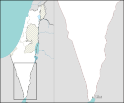
Sapir (Hebrew: סַפִּיר) is a community settlement in southern Israel. Located near Route 90, it falls under the jurisdiction of Central Arava Regional Council. In 2019 it had a population of 447.[1]
History[]
The village was established in 1979 and is named after Pinchas Sapir. It was planned by the architect and was founded primarily to provide housing for municipal workers of the regional council. As time passed, its nature changed. As of 2006 it houses mostly people of various professions, as opposed to other settlements of the Aravah, which mostly do agriculture.
Near the community there is a nature park and an airstrip.
References[]
- ^ a b "Population in the Localities 2019" (XLS). Israel Central Bureau of Statistics. Retrieved 16 August 2020.
Categories:
- Central Arava Regional Council
- Community settlements
- Populated places in Southern District (Israel)
- Populated places established in 1979
- 1979 establishments in Israel