Sarandinovo
Sarandinovo
Сарандиново | |
|---|---|
Village | |
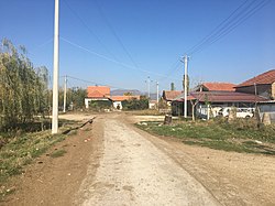 View of road in Sarandinovo | |
 Sarandinovo Location within North Macedonia | |
| Coordinates: 41°26′08″N 21°24′43″E / 41.43556°N 21.41194°ECoordinates: 41°26′08″N 21°24′43″E / 41.43556°N 21.41194°E | |
| Country | |
| Region | |
| Municipality | |
| Elevation | 595 m (1,952 ft) |
| Population (2002) | |
| • Total | 98 |
| Time zone | UTC+1 (CET) |
| Area code(s) | +38948 |

Sarandinovo (Macedonian: Сарандиново) is a village in the municipality of Dolneni, North Macedonia.[1]
Demographics[]
According to the 2002 census, the village had a total of 98 inhabitants.[2] Ethnic groups in the village include:[2]
- Macedonians 98
References[]
- ^ "Sarandinovo Dolneni, Macedonia - Sarandinovo Prilep | Sarandinovo map". Makedonija.name. Retrieved 2016-12-28.
- ^ a b Macedonian Census (2002), Book 5 - Total population according to the Ethnic Affiliation, Mother Tongue and Religion, The State Statistical Office, Skopje, 2002, p. 98.
Categories:
- Villages in Dolneni Municipality
- Pelagonia Region geography stubs