Sgurr Breac
| Sgurr Breac | |
|---|---|
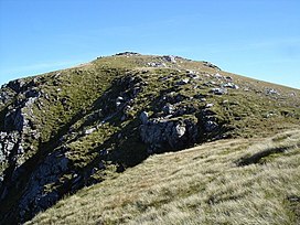 The summit of Sgurr Breac | |
| Highest point | |
| Elevation | 999 m (3,278 ft)[1] |
| Prominence | 451 m (1,480 ft) |
| Listing | Munro, Marilyn |
| Coordinates | 57°41′32″N 5°05′30″W / 57.6921°N 5.0916°WCoordinates: 57°41′32″N 5°05′30″W / 57.6921°N 5.0916°W |
| Geography | |
| Location | Wester Ross, Scotland |
| Parent range | Northwest Highlands |
| OS grid | NH158711 |
| Topo map | OS Landranger 20 |

Sgurr Breac (999 m) is a mountain in the Northwest Highlands of Scotland, located in Wester Ross.
A remote mountain, Sgurr Breac is part of the Fannich Range, and has a very steep north face. It is usually climbed from its eastern side. The nearest settlement is Auchindrean.[2]
References[]
- ^ "Sgurr Breac". hill-bagging.co.uk. Retrieved 16 May 2019.
- ^ "walkhighlands Sgurr Breac". walkhighlands.co.uk. Retrieved 16 May 2019.
This Scottish location article is a stub. You can help Wikipedia by . |
Categories:
- Mountains and hills of the Northwest Highlands
- Marilyns of Scotland
- Munros
- Scotland geography stubs