Sif Glacier
| Sif Glacier | |
|---|---|
| Sif Gletscher | |
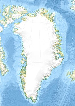 Location within Greenland | |
| Type | Valley glacier |
| Location | Greenland |
| Coordinates | 83°22′N 31°0′W / 83.367°N 31.000°WCoordinates: 83°22′N 31°0′W / 83.367°N 31.000°W |
| Width | 2.5 km (1.6 mi) |
| Terminus | |
| Status | Retreating[1] |

Sif Glacier (Danish: Sifs Gletscher), is a glacier in northern Greenland.[2] Administratively it belongs to the Northeast Greenland National Park.
History[]
The Sif Glacier was seen during aerial surveys by Lauge Koch and was named after Sif, the goddess representing Mother Earth in Norse mythology.
The glacier was first explored from the ground by the British Joint Services Expedition in 1969.[3]
Geography[]
The Sif Glacier is a slow-moving glacier located in Johannes V. Jensen Land, roughly in the middle of the Roosevelt Range. It flows in a WSW/ENE direction from the ice cap of the , bifurcating south of the with one arm flowing roughly northwards and another southwards until their terminuses in the Northern and in the Southern (Twin Lakes) respectively.[3]
The northern branch of the Sif Glacier ends in a valley open to the north with its mouth in Constable Bay, where it formed prominent terminal moraines in the past.[4]
See also[]
References[]
- ^ The recent regimen of the ice cap margin in North Greenland
- ^ "Sif Glacier". Mapcarta. Retrieved 30 May 2019.
- ^ a b Arctic Report, 121
- ^ The terminal moraine in Constable Bugt
External links[]
- Early to middle Holocene valley glaciations on northernmost Greenland The terminal moraine in Constable Bugt
- Greenland North Coast - Jeff Shea
This Greenland location article is a stub. You can help Wikipedia by . |
- Glaciers of Greenland
- Greenland geography stubs