Sint Michiel
Sint Michiel | |
|---|---|
 Kunuku House in Sint Michiel | |
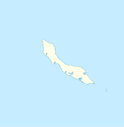 Sint Michiel Location in Curaçao | |
| Coordinates: 12°08′32″N 068°59′45″W / 12.14222°N 68.99583°WCoordinates: 12°08′32″N 068°59′45″W / 12.14222°N 68.99583°W | |
| State | Kingdom of the Netherlands |
| Country | Curaçao |
| City | Willemstad |
| Population (2011)[1] | |
| • Total | 5,732 |

Sint Michiel is a fishing village lying at the south end of Bullenbaai bay on the west coast of Curaçao. It is located 10 kilometres (6.2 miles) to the northwest of the island's main centre, Willemstad. The St. Michiel Bay is locally known as "Boca Sami" and is situated between the much smaller Blue Bay and Vaersenbaai. Vaersen Bay used to be the Curaçao Police recreational facility. It is now the popular Beach Club Kokomo Beach Curacao.
The bay was once defended by 2 WIC forts. Ruins of the main fort are still visible. These forts provided protection from French pirates and the British Navy though they were occupied by both in the 18th and early 19th Century.[2]
References[]
- ^ "Census 2011". Central Bureau of Statistics. Retrieved 17 April 2021.
- ^ http://www.castles.nl/fort-sint-michiel
| Authority control |
|
|---|
This Curaçao location article is a stub. You can help Wikipedia by . |
Categories:
- Populated places in Curaçao
- Willemstad
- Caribbean geography stubs
- Curaçao stubs