Skitholvola
| Skjettholvola | |
|---|---|
| Skitholvola | |
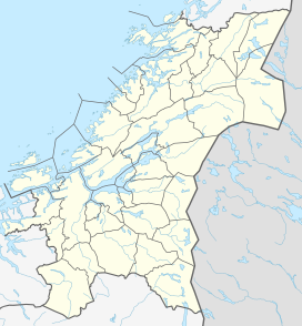 Skjettholvola Location of the mountain | |
| Highest point | |
| Elevation | 611 m (2,005 ft) |
| Coordinates | 63°41′22″N 11°35′53″E / 63.6895°N 11.5980°ECoordinates: 63°41′22″N 11°35′53″E / 63.6895°N 11.5980°E[1] |
| Geography | |
| Location | Trøndelag, Norway |
| Parent range | Kjølen |


Skitholvola or Sjettholvola is a mountain in the municipality of Verdal in Trøndelag county, Norway. The 611-metre (2,005 ft) tall mountain lies in the Kjølen mountain range along the Norway-Sweden border. The mountain lies near the municipal border between Verdal and Levanger to the south, about 8 kilometres (5.0 mi) south of the village of Lysthaugen.
References[]
- ^ "Skjettholvola, Verdal (Trøndelag)" (in Norwegian). yr.no. Retrieved 2018-04-02.
External links[]
- "Skitholvola". world-geographics.com.
This Trøndelag location article is a stub. You can help Wikipedia by . |
Categories:
- Verdal
- Mountains of Trøndelag
- Trøndelag geography stubs