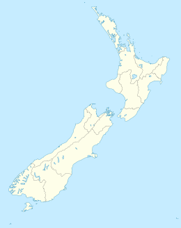
Stephenson Island (New Zealand)
 Stephenson Island, locals and Iwi call it Ririwha.(Māori) | |
| Geography | |
|---|---|
| Location | Whangaroa Bay |
| Coordinates | 34°58′S 173°47′E / 34.967°S 173.783°E |
| Total islands | 1 |
| Area | 1.1 km2 (0.42 sq mi) |
| Length | 2.4 km (1.49 mi) |
| Width | 0.8 km (0.5 mi) |
| Highest elevation | 132 m (433 ft) |
| Highest point | Ririwha |
| Administration | |
| Demographics | |
| Population | 0 |
| Pop. density | 0/km2 (0/sq mi) |
Stephenson Island, also called Mahinepua Island, is the larger of a pair of small islands 3,275 metres (2.035 mi) off the northern coast of New Zealand in Whangaroa Bay.[1][2] It is approximately 1.5 miles (2.4 km) long and 0.5 miles (0.80 km) wide, positioned with the major axis running northwest to southeast. The area is 112 hectares (0.43 sq mi).[1] Immediately to the northwest lies the smaller . Satellite imagery indicates that the islands are partially forested and contain only two sites with buildings as discernible signs of habitation.[2]
Land Information New Zealand records show that the islands are jointly owned by eleven families and are classified as Maori Land.[3]
The Māori name for Stephenson Island is Mahinepua Island, which is rarely seen on maps; both are official names for the island.[3] The highest point is Ririwha, at 132 metres (433 ft) elevation.[4]
See also[]
- List of islands of New Zealand
- List of islands
- Desert island
References[]
- ^ Jump up to: a b Department of Statistics, The University of Auckland. "Rodent Invasion Project, Stephenson Island / Mahinepua". Archived 2013-02-19 at the Wayback Machine Accessed 1 February 2013.
- ^ Jump up to: a b iTouchMap. "Stephenson Island, New Zealand". Accessed 1 February 2013.
- ^ Jump up to: a b Land Information Gazette NZ Place names Lookup. Accessed 6 January 2020
- ^ NZ Topo Map. "Stephenson Island (Mahinepua Island)". Accessed 1 February 2013.
Coordinates: 34°58′S 173°47′E / 34.96°S 173.78°E
- Uninhabited islands of New Zealand
- Islands of the Northland Region
- Northland Region geography stubs
