Stour Valley Path
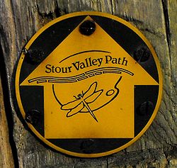

The Stour Valley Path is a 96-kilometre (60 mi) long-distance footpath in Suffolk, England, from Newmarket (52°14′27″N 0°23′51″E / 52.2407°N 0.3976°E) to (51°57′25″N 1°03′23″E / 51.9570°N 1.0563°E), a village near Manningtree.[1]
 WikiMiniAtlas
The path follows the catchment area of the River Stour. The majority of the route forms part of European Path E2. It connects with the Icknield Way Path, St Edmund Way, the and the Essex Way.[1]
References[]
- ^ a b "Stour Valley Path (East Anglia)". Ramblers Association. Retrieved 30 November 2008.
Categories:
- Footpaths in Suffolk
- Long-distance footpaths in England