Svolhusgreini
| Svolhusgreini | |
|---|---|
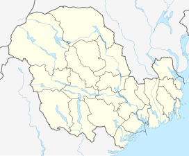
 Svolhusgreini Location of the mountain | |
| Highest point | |
| Elevation | 1,420 m (4,660 ft) |
| Prominence | 50 m (160 ft) |
| Coordinates | 59°28′44″N 7°35′39″E / 59.4790°N 07.5942°ECoordinates: 59°28′44″N 7°35′39″E / 59.4790°N 07.5942°E[1] |
| Geography | |
| Location | Agder and Vestfold og Telemark, Norway |
| Parent range | Setesdalsheiene |


Svolhusgreini is a mountain on the border of Agder and Vestfold og Telemark counties in southern Norway. The 1,420-metre (4,660 ft) tall mountain is the 14th highest mountain in Agder county. The mountain has a topographic prominence of 50 metres (160 ft). The mountain sits on the border of the municipalities of Bykle in Agder and Tokke in Vestfold og Telemark. It is located in the Setesdalsheiene mountains about half-way between the mountains of Brandsnutene to the north and Sæbyggjenuten to the south. The village of Berdalen lies about 10 kilometres (6.2 mi) to the southwest.
See also[]
- List of mountains of Norway
References[]
- ^ "Svolhusgreini, Bykle (Aust-Agder)" (in Norwegian). yr.no. Retrieved 2017-03-15.
This article about a mountain, mountain range, or peak in Agder is a stub. You can help Wikipedia by . |
This article about a mountain, mountain range, or peak in Vestfold og Telemark is a stub. You can help Wikipedia by . |
- Mountains of Agder
- Mountains of Vestfold og Telemark
- Bykle
- Tokke
- Agder geography stubs
- Norway mountain stubs
- Vestfold og Telemark geography stubs