Téra
This article does not cite any sources. (July 2011) |
Téra | |
|---|---|
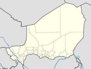 Téra Location in Niger | |
| Coordinates: 14°00′38″N 0°45′11″E / 14.01056°N 0.75306°ECoordinates: 14°00′38″N 0°45′11″E / 14.01056°N 0.75306°E | |
| Country | |
| Region | Tillabéri Region |
| Department | Téra Department |
| Elevation | 227 m (748 ft) |
| Population (2011) | |
| • Total | 92,544 |
| • Summer (DST) | UTC+1 (WAT) |

Téra is a city in the Tillabéri Region, Tera Department of Niger. It is situated 175 km north-west of the capital Niamey, close to the border with Burkina Faso. It is mainly inhabited by Songhai, Fulani, Gourmantche and Buzu ethnic groups. The majority of the population are farmers.
Commerce[]
Every Thursday marks the market day at Tera. Animals, mainly cattle, goats, sheep and domestic birds are traded by farmers from all corners of the Department.
Notable people[]
- Fatou Djibo - educator, feminist and trade unionist
References[]
| show Authority control |
|---|
This Niger location article is a stub. You can help Wikipedia by . |
Categories:
- Tillabéri Region
- Communes of Tillabéri Region
- Niger geography stubs