Tarva (Norway)
 | |
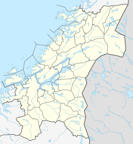 Tarva Location of the island | |
| Geography | |
|---|---|
| Location | Trøndelag, Norway |
| Coordinates | 63°48′45″N 9°25′15″E / 63.8125°N 09.4207°ECoordinates: 63°48′45″N 9°25′15″E / 63.8125°N 09.4207°E |
| Area | 14 km2 (5.4 sq mi) |
| Administration | |
Norway | |
| County | Trøndelag |
| Municipality | Ørland |


The Tarva islands are an archipelago in the municipality of Ørland in Trøndelag county, Norway. The largest and only populated island is Husøya and the other larger islands are Været and Karlsøya. There are also many smaller surrounding islets and skerries. The islands are located about 8 kilometres (5.0 mi) west of the village of Nes on the mainland in Bjugn. Tarva is connected to the mainland via the .[1]

Ferry to Tarva

Tarva harbour
The islands were owned by the Austrått manor until 1858. The Royal Norwegian Air Force has a firing range on the western islands. The small Tarva Chapel is located on the northern side of the main island.
See also[]
References[]
- ^ Haugen, Morten, ed. (2017-06-17). "Bjugn". Store norske leksikon (in Norwegian). Kunnskapsforlaget. Retrieved 2018-02-27.
| hide Authority control | |
|---|---|
| General |
|
| National libraries | |
This Trøndelag location article is a stub. You can help Wikipedia by . |
Categories:
- Landforms of Trøndelag
- Archipelagoes of Norway
- Archipelagoes of the Norwegian Sea
- Ørland
- Trøndelag geography stubs