Tipalt Burn
| Tipalt Burn | |
|---|---|
 Ford over the Tipalt Burn | |
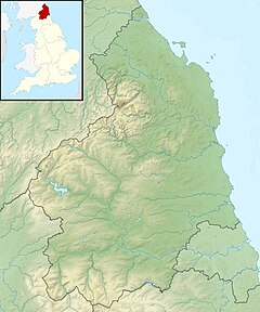 Location within Northumberland | |
| Location | |
| Country | United Kingdom |
| County | Northumberland |
| Physical characteristics | |
| Source | |
| • coordinates | 55°02′48″N 2°26′25″W / 55.046634°N 2.440370°W |
| Mouth | |
• coordinates | 54°57′44″N 2°28′21″W / 54.9623611°N 2.4723889°WCoordinates: 54°57′44″N 2°28′21″W / 54.9623611°N 2.4723889°W |
| Discharge | |
| • location | Haltwhistle |
Tipalt Burn is a burn which lies to the east of Greenhead, Northumberland. The burn passes several historical sites such as Thirlwall Castle and discharges into the River South Tyne near the village of Haltwhistle.[1] The burn is about 10 miles (16 km) in length and is located close to the north end of the Pennine Way.
See also[]
References[]
External links[]
 Media related to Tipalt Burn at Wikimedia Commons
Categories:
- Rivers of Northumberland