From Wikipedia, the free encyclopedia
District in Tokyo, Japan
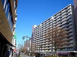
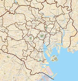
Toyama (戸山) is a district of Shinjuku, Tokyo, Japan.
References[]
|
|---|
| Districts | | Yotsuya Area | |
|---|
| Ushigome Area |
- Ageba-chō
- Akagimotomachi
- Akagimotomachi
- Babashitamachi
- Bentenchō
- Enokimachi
- Fukuromachi
- Haraikata-chō
- Haramachi
- Higashienokichō
- Higashigoken-chō
- Ichigayachōenjimachi
- Ichigayadai-chō
- Ichigayafunagawaramachi
- Ichigayahachiman-chō
- Ichigayahonmura-chō
- Ichigayakaga-chō
- Ichigayakōrachō
- Ichigayanakano-chō
- Ichigayasadohara-chō
- Ichigayasanai-chō
- Ichigayata-chō
- Ichigayatakajōmachi
- Ichigayayakuouji-chō
- Ichigayayamabushichō
- Ichigayayanagi-chō
- Iwato-chō
- Kaguragashi
- Kagurazaka
- Kaitaichō
- Kikui-chō
- Kitamachi
- Kitayamabushichō
- Kōdachō
- Minamienokichō
- Minamimachi
- Minamiyamabushi-chō
- Nakamachi
- Nakazatochō
- Nandochō
- Nijūkimachi
- Nishigoken-chō
- Nishiwaseda*
- Saikuchō
- Shimomiyabi-chō
- Shinogawamachi
- Shiroganechō
- Suidōmachi
- Sumiyoshimachi
- Tansumachi
- Tenjinmachi
- Tomihisamachi
- Toyama*
- Tsukiji-chō
- Tsukudo-chō
- Tsukudohachimanchō
- Wakamatsumachi
- Wakamiyachō
- Waseda-chō
- Wasedaminamimachi
- Wasedatsurumaki-chō
- Yamabuki-chō
- Yaraimachi
- Yochō-chō*
- Yokoteramachi
|
|---|
| Yodobashi Area |
- Kamiochiai
- Kitashinjuku
- Nakai
- Nakaochiai
- Ōkubo
- Shimoochiai
- Takadanobaba
- Totsuka-chō
- Nishiochiai
- Nishishinjuku
- Hyakuninmachi
- Kabukichō*
- Shinjuku*
- Toyama*
- Nishiwaseda*
- Yochō-chō*
|
|---|
| |
|---|
| Education | |
|---|
| Major stations |
- Iidabashi (JR, Metro, Toei)
- Seibu-Shinjuku (Seibu)
- Shinjuku (JR, Metro, Toei, Keio, Odakyu, bus terminal)
- Shinjuku-sanchome (Metro, Toei)
- Takadanobaba (JR, Metro, Seibu)
- Yotsuya (JR, Metro)
|
|---|
| Landmarks | |
|---|
* - partially |

Hidden categories:
- Articles with short description
- Short description is different from Wikidata
- Coordinates on Wikidata
- Articles containing Japanese-language text