Tyre, Lebanon
Tyre
صور Tyr Sour (Lebanese Arabic) | |
|---|---|
City | |
 Submerged ancient columns with the skyline of the modern city in the background. | |
 Coat of arms | |
 | |
 Tyre | |
| Coordinates: 33°16′15″N 35°11′46″E / 33.27083°N 35.19611°ECoordinates: 33°16′15″N 35°11′46″E / 33.27083°N 35.19611°E | |
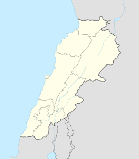
| Country | |
| Governorate | South Governorate |
| District | Tyre |
| Municipalities | Abbassieh, Ain Baal, Borj Ech Chemali, Sour |
| Established | c. 2750 BCE |
| Area | |
| • City | 4 km2 (2 sq mi) |
| • Metro | 17 km2 (7 sq mi) |
| Population | |
| • City | 60,000 |
| • Metro | 174,000 |
| Demonym(s) | Tyrian |
| Time zone | UTC+2 (EET) |
| • Summer (DST) | UTC+3 (EEST) |
| Type | Cultural |
| Criteria | iii, vi |
| Designated | 1984 (8th session) |
| Reference no. | 299 |
| State Party | Lebanon |

Tyre (/ˈtaɪər/; Arabic: صور, romanized: Ṣūr; Phoenician: