Uiryeong County
This article needs additional citations for verification. (September 2018) |
Uiryeong
의령군 | |
|---|---|
| Korean transcription(s) | |
| • Hangul | 의령군 |
| • Hanja | 宜寧郡 |
| • Revised Romanization | Uiryeong-gun |
| • McCune-Reischauer | Ŭiryŏng kun |
 Flag Emblem of Uiryeong | |
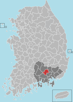 Location in South Korea | |
| Country | |
| Region | Yeongnam |
| Administrative divisions | 1 eup, 12 myeon |
| Area | |
| • Total | 482.95 km2 (186.47 sq mi) |
| Population (2019.02) | |
| • Total | 27,550 |
| • Density | 67.0/km2 (174/sq mi) |
| • Dialect | Gyeongsang |
Uiryeong County (Korean: 의령군, Uiryeong-gun; Hanja: 宜寧郡) is a county in South Gyeongsang Province, South Korea.[1]
Uiryeong County has a population of 27,550 (2019) and is one of the least populated counties in South Korea.
History[]
In 1938, Lee Byung-chull, a resident of Uiryeong, founded Samsung in the nearby city of Daegu.
On the evening of 26 April 1982, policeman Woo Bum-kon went on a shooting and bombing rampage through several villages in Uiryeong County, killing 56 people and wounding 35 others in the worst non-terrorist spree killing in history.
Transportation[]
Uiryeong has a convenient location as it sits between Jinju to the west and Haman/Masan/Changwon to the East. A bus runs regularly from the bus terminal in Uiryeong-Eup to all major cities in South Korea. A bus journey to Masan or Jinju takes approximately 35 minutes and 45 minutes respectively from Uiryeong bus terminal, while the journey to Busan takes 1 hour. It is also possible to take a bus directly to Seoul from Uiryeong.
The biggest problem in terms of transportation is that the intercity buses stop running to Uiryeong from the nearby cities fairly early in the evening. The last bus from Busan is 6:40 PM, from Jinju, it's 7:30 PM and from Masan, it's 9:00 PM.
Sister cities[]
Uiryeong is twinned with:
 Sacheon, South Korea
- Muan, South Korea
- Yongsan-gu, South Korea
- Uiseong, South Korea
 Liaocheng, China
 Mandal, Mongolia
See also[]
References[]
- ^ Latitude.to. "GPS coordinates of Uiryeong County, South Korea. Latitude: 35.3192 Longitude: 128.2611". Latitude.to, maps, geolocated articles, latitude longitude coordinate conversion.
External links[]

| show Authority control |
|---|
Coordinates: 35°19′09″N 128°15′40″E / 35.3191666767°N 128.261111121°E

- Uiryeong County
- Counties of South Gyeongsang Province