Umi, Fukuoka
Umi
宇美町 | |
|---|---|
Town | |
 Flag  Seal | |
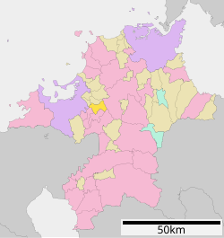 Location of Umi in Fukuoka Prefecture | |
 Umi Location in Japan | |
| Coordinates: 33°34′N 130°31′E / 33.567°N 130.517°ECoordinates: 33°34′N 130°31′E / 33.567°N 130.517°E | |
| Country | Japan |
| Region | Kyushu |
| Prefecture | Fukuoka Prefecture |
| District | Kasuya |
| Area | |
| • Total | 30.22 km2 (11.67 sq mi) |
| Population (2016) | |
| • Total | 37,663 |
| • Density | 1,200/km2 (3,200/sq mi) |
| Time zone | UTC+09:00 (JST) |
| Website | www |

Umi (宇美町, Umi-machi) is a town located in Kasuya District, Fukuoka Prefecture, Japan.
As of 2016, the town has an estimated population of 37,663 and a density of 1,200 persons per km². The total area is 30.22 km².
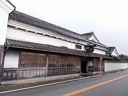
The town has a river, the Umigawa, flowing through it, a large Hachiman shrine and a small Protestant church. It also has some ancient burial mounds (kofun). It is reputedly the birthplace of Emperor Ōjin, an early Japanese emperor.
A railway was built in 1919 to facilitate the removal of coal, but this local industry ended in 1963. The railway line was closed in 1985 and has been made into a pleasant semi-rural walkway. Umi still has another JR line, the Kashii Line. Ban-dai sake is also made in Umi.
External links[]
 Media related to Umi, Fukuoka at Wikimedia Commons
- Umi official website (in Japanese)
This Fukuoka Prefecture location article is a stub. You can help Wikipedia by . |
- Towns in Fukuoka Prefecture
- Fukuoka geography stubs