Xeresa
This article does not cite any sources. (December 2016) |
Xeresa | |
|---|---|
 | |
 Coat of arms | |
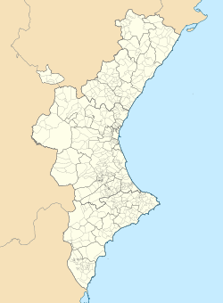
 Xeresa Location in Spain | |
| Coordinates: 39°0′35″N 0°13′6″W / 39.00972°N 0.21833°WCoordinates: 39°0′35″N 0°13′6″W / 39.00972°N 0.21833°W | |
| Country | |
| Autonomous community | |
| Province | Valencia |
| Comarca | Safor |
| Judicial district | Gandia |
| Government | |
| • Alcalde | Tomàs Ferrandis i Moscardó (Coalició Compromís) |
| Area | |
| • Total | 16.9 km2 (6.5 sq mi) |
| Elevation | 30 m (100 ft) |
| Population (2018)[1] | |
| • Total | 2,145 |
| • Density | 130/km2 (330/sq mi) |
| Demonym(s) | Xeresà, xeresana |
| Time zone | UTC+1 (CET) |
| • Summer (DST) | UTC+2 (CEST) |
| Postal code | 46790 |
| Official language(s) | Valencian |
| Website | Official website |


Xeresa (Valencian pronunciation: [ʃeˈɾeza], Spanish: Jeresa) is a municipality in the comarca of Safor in the Valencian Community, Spain. It is located 55 kilometers at the south of Valencia and 110 kilometers north from Alicante and can be accessed through road N-332. Xeresa is an essentially agricultural village.
References[]
- ^ Municipal Register of Spain 2018. National Statistics Institute.
| show Municipalities of the province of Valencia |
|---|

| Authority control |
|
|---|
This article about a location in the Valencian Community, Spain, is a stub. You can help Wikipedia by . |
Categories:
- Municipalities in the Province of Valencia
- Safor
- Valencian Community geography stubs