Zamora, Ecuador
Zamora | |
|---|---|
City | |
 | |
 Flag | |
| Nickname(s): City of Birds and Waterfalls | |
 Zamora | |
| Coordinates: 04°04′09″S 78°57′24″W / 4.06917°S 78.95667°WCoordinates: 04°04′09″S 78°57′24″W / 4.06917°S 78.95667°W | |
| Country | Ecuador |
| Province | Zamora-Chincipe |
| Canton | Zamora Canton |
| Founded | October 4, 1549 |
| Government | |
| • Governing body | Municipality of Zamora |
| • Mayor | Víctor Manuel González Salinas |
| Area | |
| • Total | 560.75 km2 (216.51 sq mi) |
| Elevation | 970 m (3,180 ft) |
| Population (2010 census) | |
| • Total | 13,387 |
| • Density | 24/km2 (62/sq mi) |
| • Demonym | Zamorano(-a) |
| Time zone | UTC-5 (ECT) |
| Climate | Af |
| Website | www |

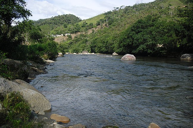
Zamora (Spanish pronunciation: [saˈmoɾa]) is a city in southeastern Ecuador; it is the capital of Zamora-Chinchipe province and the seat of Zamora Canton. Zamora is the principal and most populous city in Zamora-Chinchipe. It is located in the region ath base of the eastern portion of the Andes mountains in Ecuador, at 970 m above sea level, at the convergence of the Zamora, and rivers.
Zamora, which has experienced a boom in growth in since the recent discovery of gold in the surrounding region, is known as the "Mining Capital of Ecuador'", and as the "City of Birds and Waterfalls'", referring to the presence of various species of birds and several waterfalls on the streams that surround the city.
The city stretches from west to east towards . It is connected by several bus and coach trips to other cantons and provinces.
| Wikisource has the text of the 1913 Catholic Encyclopedia article Zamora. |
| show Provincial capitals in Ecuador |
|---|

| show Authority control |
|---|
This Ecuador location article is a stub. You can help Wikipedia by . |
- Populated places in Zamora-Chinchipe Province
- Provincial capitals in Ecuador
- Populated places established in 1549
- 1549 establishments in the Spanish Empire
- Ecuador geography stubs