İ.T.Ü.—Ayazağa (Istanbul Metro)
This article relies largely or entirely on a single source. (March 2016) |
İTÜ—Ayazağa | |||||||||||
|---|---|---|---|---|---|---|---|---|---|---|---|
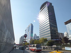 The Istanbul Metro sign with the skyscrapers of Maslak. | |||||||||||
| Location | Büyükdere Cd., Reşitpaşa Mah., 34467 Sarıyer | ||||||||||
| Coordinates | 41°07′49″N 29°01′30″E / 41.1302°N 29.0250°ECoordinates: 41°07′49″N 29°01′30″E / 41.1302°N 29.0250°E | ||||||||||
| Owned by | Istanbul Metropolitan Municipality | ||||||||||
| Operated by | Metro Istanbul | ||||||||||
| Line(s) | |||||||||||
| Platforms | 1 Island platform | ||||||||||
| Tracks | 2 | ||||||||||
| Connections | |||||||||||
| Construction | |||||||||||
| Structure type | Underground | ||||||||||
| Disabled access | Yes | ||||||||||
| History | |||||||||||
| Opened | 31 January 2009[1] | ||||||||||
| Electrified | 750V DC Third rail | ||||||||||
| Services | |||||||||||
| |||||||||||

İTÜ—Ayazağa is an underground rapid transit station on the M2 line of the Istanbul Metro.[2] It is located under Büyükdere Avenue in Maslak, the second largest financial district in Istanbul after Levent. The station services the Istanbul Technical University (Turkish: İstanbul Teknik Üniversitesi) or İTÜ as well as the Maslak financial district. İ.T.Ü.-Ayazağa has an island platform serviced by two tracks. The station was opened on 31 January 2009 as part of the northern extension of the M2 line.
Layout[]
| Southbound | ← | |
| Island platform | ||
| Northbound | ||
References[]
- ^ "M2 Yenikapı-Hacıosman". İstanbul Ulaşım A.Ş.
- ^ "Istanbul Metro Map". Turkey Travel Planner. Retrieved 2019-11-02.
This article about a Turkish railway station is a stub. You can help Wikipedia by . |
This Istanbul Metro article is a stub. You can help Wikipedia by . |
Categories:
- Railway stations opened in 2009
- Istanbul metro stations
- Sarıyer
- 2009 establishments in Turkey
- Turkish railway station stubs
- Istanbul metro stubs