Aderbissinat
Aderbissinat | |
|---|---|
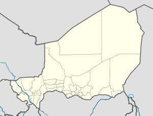 Aderbissinat Location in Niger | |
| Coordinates: 15°36′N 7°54′E / 15.600°N 7.900°E | |
| Country | |
| Region | Agadez Region |
| Department | Tchirozerine |
| Elevation | 456 m (1,496 ft) |
| Population (2011) | |
| • Total | 27,523 |

Aderbissinat is a town and commune in central Niger. As of 2011, the commune had a total population of 27,523 people.[1] It lies in the Sahel, the semi-arid, sparsely populated zone between the Sahara Desert to the north and the millet-growing savannah to the south. Raising goats, camels, and cattle is the traditional livelihood for people in this region, which gets only a few weeks of rain per year. However, recurrent drought since the 1970s has caused the starvation of many animals. This has forced many previously nomadic and semi-nomadic people to settle in and around Aderbissinat and other Sahelian towns.[citation needed] Villages within Aderbissinat include Marendet.
Aderbissinat is ethnically and linguistically mixed, with residents of Hausa, Tuareg, and Arab origin. Nomadic Fula cattle-herders also come into town regularly to sell their wares. Although isolated, the town lies on a major trans-Saharan route linking Algeria to Nigeria. The nearest cities are Agadez to the north and Zinder to the south.
The mayor of Aderbissinat is , who has supported the into the investigations into a new sauropod dinosaur Spinophorosaurus nigerensis.[2] Mr Echika has also been a guest of honour at the Tribunal de las Aguas in Valencia, Spain[3] in 2005, which has since become safeguarded by UNESCO.[4]
References[]
- ^ "Annuaires_Statistiques" (PDF). Institut National de la Statistique. Retrieved 2 May 2013.
- ^ A New Basal Sauropod Dinosaur from the Middle Jurassic of Niger and the Early Evolution of Sauropoda
- ^ "Mohamed Echika, Primera Autoridad de Aderbisinat (Niger) 5-mayo-2005", El tribunal de las aguas Archived July 17, 2011, at the Wayback Machine
- ^ Intergovernmental Committee for the Safeguarding of the Intangible Cultural Heritage: The Tribunal of Waters, UNESCO Archived November 12, 2009, at the Wayback Machine
Coordinates: 15°36′07″N 7°54′37″E / 15.601875°N 7.910156°E
| show Authority control |
|---|
This Niger location article is a stub. You can help Wikipedia by . |
- Communes of Niger
- Niger geography stubs