Agres
Agres | |
|---|---|
 Agres seen from the . | |
 Coat of arms | |
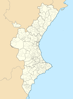 Agres Location within the Valencian Community | |
| Coordinates: 38°46′47″N 00°30′58″W / 38.77972°N 0.51611°W | |
| Country | Spain |
| Province | Alicante |
| Comarca | Comtat |
| Government | |
| • Alcalde | Josep Manel Francès i Reig |
| Area | |
| • Total | 25.80 km2 (9.96 sq mi) |
| Elevation | 722 m (2,369 ft) |
| Population (2018)[1] | |
| • Total | 551 |
| • Density | 21/km2 (55/sq mi) |
| • Language | Valencian |
| Demonyms | Agresà, agresana (Catalan) |
| Postcode | 03837 |
| Website | http://www.agres.es |

Agres (Valencian and Spanish: [ˈaɣɾes]) is a town and municipality in the comarca of Comtat, in the province of Alicante, Valencian Community, Spain.
It is situated between the Serra de Mariola and the . It is bordered by Agullent, Benissoda and Albaida to the north; Muro d'Alcoi and Cocentaina to the east; Alfafara to the west and Alcoi to the south.
See also[]
References[]
- ^ Municipal Register of Spain 2018. National Statistics Institute.
External links[]
| Wikimedia Commons has media related to Agres. |
- Índice de Estadística Municipal del municipio de Agres. Unidad de Documentación de la Diputación de Alicante (in Spanish)
- Datos y cifras de los municipios de la provincia de Alicante. Unidad de Documentación de la Diputación de Alicante (in Spanish)
- Web de la Diputación Provincial de Alicante (in Spanish)
Municipalities of Comtat | ||
|---|---|---|
This article about a location in the Valencian Community, Spain, is a stub. You can help Wikipedia by . |
Categories:
- Municipalities in the Province of Alicante
- Comtat
- Valencian Community geography stubs