Asharkota
Asharkota | |
|---|---|
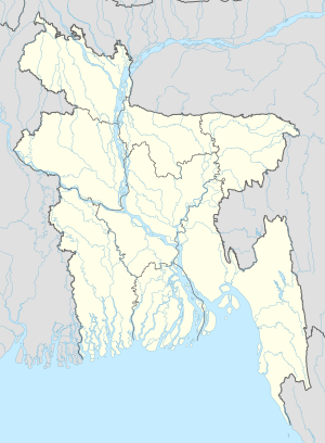 Asharkota Location in Bangladesh | |
| Coordinates: 23°23′50″N 90°50′05″E / 23.39722°N 90.83472°ECoordinates: 23°23′50″N 90°50′05″E / 23.39722°N 90.83472°E | |
| Country | |
| Division | Chittagong Division |
| District | Lakshmipur District |
| Upazila | Ramganj Upazila |
| Union | |
| Elevation | 30 ft (10 m) |
| Time zone | UTC+6 (Bangladesh Time) |

Asharkota or Asharkata (Bengali: আশারকোটা) is a village in Ramganj Upazila, Lakshmipur District in the Chittagong Division of eastern Bangladesh. It lies just to the northwest of and north of , 40.6 kilometres (25.2 mi) by road north of Ramganj.[1] The land is very low lying, at 10 metres (33 ft) above sea level.[2]
Landmarks[]
There are several mosques in the village including Asharkota Prodhania bari Mosque and Asharkota Munshi Meher Ullah Jame Mosjid.[2] Taguria Primary School and Taguria Obaidul Haque High School lie to the northeast in .[1]
References[]
- ^ a b "Taguria Primary School". Google Maps. Retrieved 9 July 2020.
- ^ a b "Asharkota". Geonames.org. Retrieved 9 July 2020.
Capital: Lakshmipur | ||
| Upazilas | ||
| Constituencies | ||
| Attractions and sites | ||
| History |
| |
| Inhabited areas | ||
| Rivers and transport | ||
| Educational institutions | ||
| See also | ||
This Chittagong Division location article is a stub. You can help Wikipedia by . |
Categories:
- Populated places in Lakshmipur District
- Chittagong Division geography stubs