Budhrail
This article needs additional citations for verification. (November 2018) |
Budhrail
বুধরাইল | |
|---|---|
 A landscape of river Ratna of Budhrail | |
 Budhrail Location of Budhrail in Bangladesh | |
| Coordinates: 24°44′35″N 91°35′40″E / 24.74306°N 91.59444°ECoordinates: 24°44′35″N 91°35′40″E / 24.74306°N 91.59444°E | |
| Country | |
| Division | Sylhet |
| District | Sunamganj |
| Upazila | Jagannathpur |
| Area | |
| • Total | 2.85 km2 (1.10 sq mi) |
| Population (2011) | |
| • Total | 2,281 |
| • Density | 800/km2 (2,100/sq mi) |
| Time zone | UTC+6 (BST) |
| Postal code | 3061 |

Budhrail (Bengali: বুধরাইল) is a village in the south-eastern part of Jagannathpur Upazila under Sunamganj District, Bangladesh. It is approximately a one-hour drive from the city of Sylhet and a one and a half hour drive from Sunamganj. The village is in the middle of the Syedpur Shaharpara Union Parishad and is on the bank of the Ratna river.
Geography[]
Budhrail is located at 24°44′34.703″N 91°35′41.662″E / 24.74297306°N 91.59490611°E. The total area of the Village is 1.135 km2. Budhrail village is bounded by Syedpur on the north, Islampur and Anuchand on the south, Sunathonpur and Shaharpara on the east, and Muradabad, Syedpur and Thegoria on the west.[1]
Education[]
The oldest primary school in this area is . It was established in 1795 or earlier.
- Budhrail Govt. Primary School
- Darul Ulum Muradabad and Budhrail Madrasha
Institutions[]
Budhrail has a very old health center called . It was established around 1930–40.
- Uttar Budhrail Jame Mosjid
Gallery[]
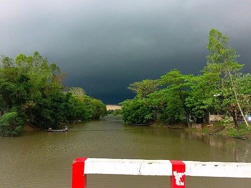
A landscape of river Ratna (now Dhupakhali) in Budhrail
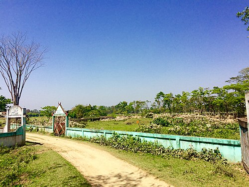
View of Budhrail Koborstan
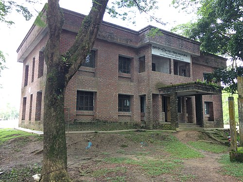
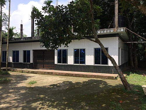
Budhrail Govt. health center
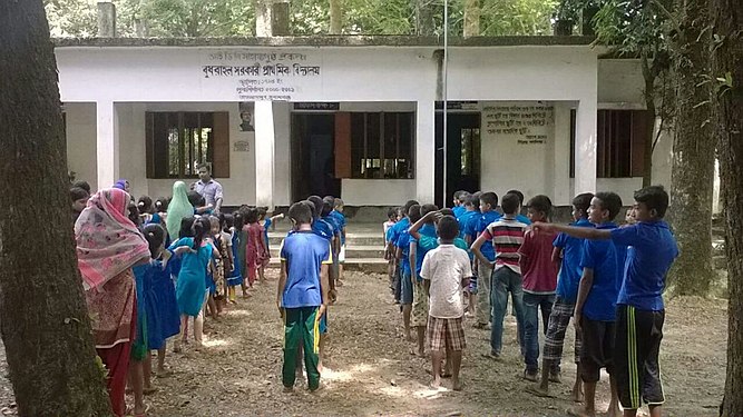
Physical training session of Budhrail primary School
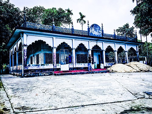
Budhrail Jame Mosjid
Uttar Budhrail Jame Mosjid on an evening


See also[]
References[]
- ^ সৈয়দপুর শাহারপাড়া ইউনিয়ন পরিষদ, জাতীয় তথ্য বাতায়ন - গণপ্রজাতন্ত্রী বাংলাদেশ সরকার - People's Republic of Bangladesh (Bengali). syedpurshaharparaup.sunamganj.gov.bd. Retrieved on 06-02-2017.
Capital: Sunamganj | ||
| Upazilas | ||
| Constituencies | ||
| Attractions and sites |
| |
| Rivers | ||
| Inhabited areas | ||
| Educational institutions | ||
| Transport | ||
| History | ||
- Villages in Jagannathpur Upazila