Canoe Lake 165A
Canoe Lake 165A | |
|---|---|
| Canoe Lake Indian Reserve No. 165A | |
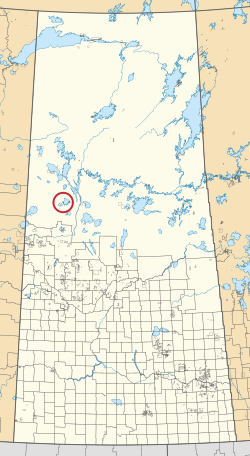 Location in Saskatchewan | |
| First Nation | Canoe Lake |
| Country | Canada |
| Province | Saskatchewan |
| Area | |
| • Total | 1,158.3 ha (2,862.2 acres) |
Canoe Lake 165A is an Indian reserve of the Canoe Lake Cree First Nation in Saskatchewan.[1][2] It is 30 miles southwest of Île-à-la-Crosse.
References[]
- ^ a b "Reserve/Settlement/Village Detail". Indigenous and Northern Affairs Canada. Government of Canada. Retrieved August 12, 2019.
- ^ "Canada Lands Survey System - CLSS Map Browser". Natural Resources Canada. Retrieved 2019-10-09.
| District |  | ||||||
|---|---|---|---|---|---|---|---|
| Cities |
| ||||||
| Northern towns | |||||||
| Northern villages |
| ||||||
| First Nations | |||||||
| Indian reserves |
| ||||||
| Unorganized areas | |||||||
| Unincorporated communities |
| ||||||
Coordinates: 55°09′26″N 108°23′13″W / 55.1573°N 108.387°W

This article about a location in the Census Division No. 18 of Saskatchewan is a stub. You can help Wikipedia by . |
This article about an Indian reserve in Saskatchewan is a stub. You can help Wikipedia by . |
Categories:
- Indian reserves in Saskatchewan
- Division No. 18, Saskatchewan
- Saskatchewan Division No. 18 geography stubs
- Saskatchewan Indian reserve stubs