Celia, Kansas
Celia, Kansas | |
|---|---|
 | |
 Celia | |
| Coordinates: 39°47′07″N 101°18′57″W / 39.78528°N 101.31583°WCoordinates: 39°47′07″N 101°18′57″W / 39.78528°N 101.31583°W | |
| Country | United States |
| State | Kansas |
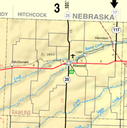
| County | Rawlins |
| Elevation | 3,317 ft (1,011 m) |
| Population | |
| • Total | 0 |
| Time zone | UTC-6 (CST) |
| • Summer (DST) | UTC-5 (CDT) |
| Area code | 785 |
| GNIS ID | 482483[1] |


Celia is a ghost town in Rawlins County, Kansas, United States.
History[]
Celia was issued a post office in 1880. The post office was moved to McDonald in 1888.[2]
References[]
- ^ "US Board on Geographic Names". United States Geological Survey. 1984-07-01. Retrieved 2017-12-30.
- ^ "Kansas Post Offices, 1828-1961". Kansas Historical Society. Retrieved 2018-01-05.[permanent dead link]
Further reading[]
External links[]
Municipalities and communities of Rawlins County, Kansas, United States | ||
|---|---|---|
| Cities |  | |
| Unincorporated communities | ||
| Ghost town | ||
| Footnotes | †This populated place is designated a Census-Designated Place (CDP) by the United States Census Bureau. | |
| ||
Categories:
- Former populated places in Rawlins County, Kansas
- Former populated places in Kansas
- 1880 establishments in Kansas
- Populated places established in 1880
- Kansas geography stubs