Chain O'Lakes State Park (Illinois)
| Chain O'Lakes State Park | |
|---|---|
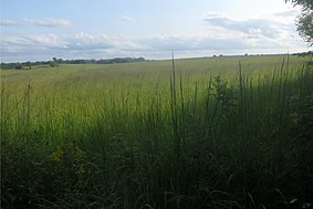 Prairie in Chain O'Lakes State Park, August 2017 | |
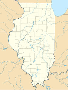 Map of the U.S. state of Illinois showing the location of Chain O'Lakes State Park | |
| Location | Lake and McHenry counties, Illinois, United States |
| Nearest city | Spring Grove, Illinois |
| Coordinates | 42°27′32″N 88°10′27″W / 42.45889°N 88.17417°WCoordinates: 42°27′32″N 88°10′27″W / 42.45889°N 88.17417°W |
| Area | 2,793 acres (1,130 ha) |
| Established | 1945 |
| Governing body | Illinois Department of Natural Resources |


Juvenile Red-tailed Hawk at Chain O'Lakes State Park (Illinois)
Chain O'Lakes State Park is a 2,793-acre (1,130 ha) Illinois state park at the inlet of the Fox River into the Chain O'Lakes in Lake and McHenry counties, in the suburban wildlife of Chicago, Illinois, United States.
It is one of the centerpieces of the proposed Hackmatack National Wildlife Refuge.
External links[]
- "Chain O'Lakes State Park". Illinois Department of Natural Resources. Archived from the original on 2009-08-15. Retrieved 2018-07-06.
- USGS. "Chain O'Lakes State Park, USGS Fox Lake (IL, WI) Quad". TopoQuest. Retrieved 2008-07-05.
This Lake County, Illinois location article is a stub. You can help Wikipedia by . |
This McHenry County, Illinois location article is a stub. You can help Wikipedia by . |
Categories:
- IUCN Category III
- State parks of Illinois
- Protected areas of Lake County, Illinois
- Protected areas of McHenry County, Illinois
- Protected areas established in 1945
- 1945 establishments in Illinois
- Chicago metropolitan area geography stubs