Siloam Springs State Park
| Siloam Springs State Park | |
|---|---|
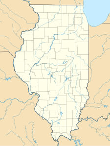 Map of the U.S. state of Illinois showing the location of Siloam Springs State Park | |
| Location | Adams and Brown counties, Illinois, United States |
| Nearest city | Clayton, Illinois |
| Coordinates | 39°52′59″N 90°55′31″W / 39.88306°N 90.92528°WCoordinates: 39°52′59″N 90°55′31″W / 39.88306°N 90.92528°W |
| Area | 3,323 acres (1,345 ha) |
| Established | 1940 |
| Governing body | Illinois Department of Natural Resources |

Siloam Springs State Park is an Illinois state park on 3,323 acres (1,345 ha) in Adams and Brown counties, Illinois, United States.
References[]
- "Siloam Springs State Park". Illinois Department of Natural Resources. Retrieved 2018-07-20.
- USGS. "Red Hills State Park, USGS Sumner (IL) Quad". TopoQuest. Retrieved 2008-07-05.
This Adams County, Illinois location article is a stub. You can help Wikipedia by . |
This Brown County, Illinois location article is a stub. You can help Wikipedia by . |
Categories:
- IUCN Category III
- State parks of Illinois
- Protected areas of Adams County, Illinois
- Protected areas established in 1940
- Protected areas of Brown County, Illinois
- 1940 establishments in Illinois
- Central Illinois geography stubs
- Illinois protected area stubs