Chuchuliga Glacier
| Chuchuliga Glacier | |
|---|---|
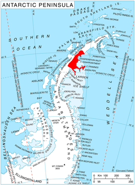 Location of Oscar II Coast on Antarctic Peninsula | |
 Location of Chuchuliga Glacier in Antarctica | |
| Location | Graham Land |
| Coordinates |  65°21′30″S 62°55′30″W / 65.35833°S 62.92500°W / -65.35833; -62.92500 65°21′30″S 62°55′30″W / 65.35833°S 62.92500°W / -65.35833; -62.92500 |
| Length | 7 nmi (13 km; 8 mi) |
| Width | 6 nmi (11 km; 7 mi) |
| Thickness | unknown |
| Terminus | Crane Glacier |
| Status | unknown |
Chuchuliga Glacier (Bulgarian: ледник Чучулига, romanized: lednik Chuchuliga, IPA: [ˈlɛdnik t͡ʃot͡ʃoˈliɡɐ]) is the 14 km long and 12 km wide glacier on Oscar II Coast, Graham Land in Antarctica situated southwest of Dzhebel Glacier, northeast of Stob Glacier and south-southeast of Archer Glacier. It is draining from the slopes of Bruce Plateau, and flowing south-southeastwards to join Crane Glacier.[1]
The feature is named after the settlement of Chuchuliga in southern Bulgaria.[1]
Location[]
Chuchuliga Glacier is located at WikiMiniAtlas65°21′30″S 62°55′30″W / 65.35833°S 62.92500°W / -65.35833; -62.92500. British mapping in 1974.
See also[]
- List of glaciers in the Antarctic
- Glaciology
Maps[]
- Antarctic Digital Database (ADD). Scale 1:250000 topographic map of Antarctica. Scientific Committee on Antarctic Research (SCAR). Since 1993, regularly upgraded and updated.
Notes[]
- ^ a b Chuchuliga Glacier SCAR Composite Antarctic Gazetteer
References[]
- Chuchuliga Glacier SCAR Composite Antarctic Gazetteer
- Bulgarian Antarctic Gazetteer Antarctic Place-names Commission (Bulgarian)
- Basic data (English)
External links[]
- Chuchuliga Glacier. Copernix satellite image
This article includes information from the Antarctic Place-names Commission of Bulgaria which is used with permission.
Glaciers in the Antarctic | |
|---|---|
|
Glaciers of Graham Land | |
|---|---|
| Antarctic Peninsula |
|
| Adelaide Island |
|
| James Ross Island |
|
| Palmer Archipelago |
|
| Trinity Peninsula |
|
This article about a glacier in Oscar II Coast is a stub. You can help Wikipedia by . |
- v
- t
- Glaciers of Oscar II Coast
- Bulgaria and the Antarctic
- Graham Land glacier stubs
- Oscar II Coast geography stubs
- Articles containing Bulgarian-language text
- Coordinates on Wikidata
- All stub articles