Coublanc, Haute-Marne
Coublanc | |
|---|---|
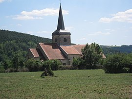 The church in Coublanc | |
 Coat of arms | |
show Location of Coublanc | |
 Coublanc | |
| Coordinates: 47°41′33″N 5°27′37″E / 47.6925°N 5.4603°ECoordinates: 47°41′33″N 5°27′37″E / 47.6925°N 5.4603°E | |
| Country | France |
| Region | Grand Est |
| Department | Haute-Marne |
| Arrondissement | Langres |
| Canton | Villegusien-le-Lac |
| Government | |
| • Mayor (2020-2026) | Jérôme Clootens |
| Area 1 | 19.19 km2 (7.41 sq mi) |
| Population (Jan. 2018)[1] | 118 |
| • Density | 6.1/km2 (16/sq mi) |
| Time zone | UTC+01:00 (CET) |
| • Summer (DST) | UTC+02:00 (CEST) |
| INSEE/Postal code | 52145 /52500 |
| 1 French Land Register data, which excludes lakes, ponds, glaciers > 1 km2 (0.386 sq mi or 247 acres) and river estuaries. | |


Coublanc is a commune in the Haute-Marne department in north-eastern France.
See also[]
References[]
- ^ "Populations légales 2018". INSEE. 28 December 2020.
| Wikimedia Commons has media related to Coublanc (Haute-Marne). |
This geography Haute-Marne article is a stub. You can help Wikipedia by . |
Categories:
- Communes of Haute-Marne
- Haute-Marne geography stubs