Crooked River State Park
| Crooked River State Park | |
|---|---|
 Sunset, Crooked River State Park | |
 | |
| Type | Public |
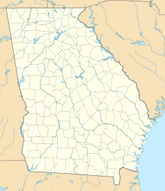
| Location | Near St. Marys, Georgia |
| Coordinates | 30°50′35″N 81°33′29″W / 30.84306°N 81.55806°WCoordinates: 30°50′35″N 81°33′29″W / 30.84306°N 81.55806°W |
| Area | 500 acres[1] |
| Operated by | Georgia Department of Natural Resources |
| Website | Crooked River |
Crooked River State Park is a 500-acre (2.0 km2) Georgia state park located near St. Mary's on the south bank of the Crooked River, providing an excellent coastal setting. The park is dedicated to the preservation of its natural resources and public education. The park is near the ruins of the McIntosh Sugarworks, built around 1825 and used as a starch factory during the American Civil War. It is the closest state park to Cumberland Island National Seashore and it is adjacent to the Naval Submarine Base Kings Bay.[2]
Facilities[]
- 52 tent/trailer/RV campsites
- 11 Cottages
- 4 Picnic Shelters
- 2 Group Shelters
- 1 Pioneer Campground
- Public access boat ramp
External links[]
- Crooked River State Park, Georgia State Parks
- Georgia's Coast in photographs and more
References[]
- ^ Krakow, Kenneth K. (1975). Georgia Place-Names: Their History and Origins (PDF). Macon, GA: Winship Press. p. 54. ISBN 0-915430-00-2.
- ^ "Crooked River State Park". State Parks & Historic Sites. 27 October 2016. Retrieved September 25, 2017.
Categories:
- State parks of Georgia (U.S. state)
- Protected areas of Camden County, Georgia
- St. Marys, Georgia
