Escuintla, Chiapas
Escuintla | |
|---|---|
Municipality | |
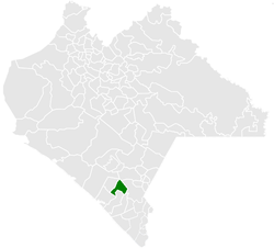 Municipality of Escuintla in Chiapas | |
 Escuintla Location in Mexico | |
| Coordinates: 15°20′N 92°38′W / 15.333°N 92.633°WCoordinates: 15°20′N 92°38′W / 15.333°N 92.633°W | |
| Country | |
| State | Chiapas |
| Area | |
| • Total | 79.6 sq mi (206.2 km2) |
| Population (2010) | |
| • Total | 30,068 |

Escuintla is a town and one of the 119 Municipalities of Chiapas, in southern Mexico. It covers an area of 206.2 km².
As of 2010, the municipality had a total population of 30,068,[1] up from 28,064 as of 2005.[2]
As of 2010, the town of Escuintla had a population of 9,570.[1] Other than the town of Escuintla, the municipality had 239 localities, the largest of which (with 2010 populations in parentheses) were: (2,719), classified as urban, and (1,087), classified as rural.[1]
Just west of it is the Chantuto Archaeological Site of Acapetahua, which is considered to be the location of the Chantuto people 3000 years BC. Voorhies
References[]
- ^ a b c "Escuintla". Catálogo de Localidades. Secretaría de Desarrollo Social (SEDESOL). Retrieved 23 April 2014.
- ^ "Escuintla". Enciclopedia de los Municipios de México. Instituto Nacional para el Federalismo y el Desarrollo Municipal Gobierno del Estado de Chiapas. Archived from the original on September 30, 2007. Retrieved July 25, 2008.

Categories:
- Municipalities of Chiapas
- Chiapas geography stubs