Flinton, Queensland
| Flinton Queensland | |||||||||||||||
|---|---|---|---|---|---|---|---|---|---|---|---|---|---|---|---|
 Flinton | |||||||||||||||
| Coordinates | 27°53′36″S 149°33′25″E / 27.8933°S 149.5569°ECoordinates: 27°53′36″S 149°33′25″E / 27.8933°S 149.5569°E | ||||||||||||||
| Population | 42 (2016 census)[1] | ||||||||||||||
| • Density | 0.0738/km2 (0.1912/sq mi) | ||||||||||||||
| Postcode(s) | 4422 | ||||||||||||||
| Area | 568.9 km2 (219.7 sq mi) | ||||||||||||||
| Time zone | AEST (UTC+10:00) | ||||||||||||||
| Location |
| ||||||||||||||
| LGA(s) | Western Downs Region | ||||||||||||||
| State electorate(s) | Warrego | ||||||||||||||
| Federal division(s) | Maranoa | ||||||||||||||
| |||||||||||||||

Flinton is a rural town and locality in the Western Downs Region, Queensland, Australia.[2][3] In the 2016 census, Flinton had a population of 42 people.[1]
Geography[]
The Moonie River flows through Flinton from east (Westmar) to west (St George); the town of Flinton is located just to the north of the river.[4]
The Moonie Highway passes through Flinton from east (Westmar) to south-west; the town is located 5 kilometres (3.1 mi) north of the highway on Flinton Road.[4]
The Ula Ula State Forest is in the southern part of Flinton. Apart from this, the land is used for a mixture of crop growing and grazing on native vegetation.[4]
History[]
Flinton appears on a survey plan from 20 Sept 1916.[2]
Flinton Provisional School opened on 26 June 1929 and closed in 1935.[5]
In the 2016 census, Flinton had a population of 42 people.[1]
Education[]
There are no schools in Flinton. The nearest primary schools are Westmar State School in neighbouring Westmar to the east and Teelba State School in neighbouring Teelba to the north-west. The nearest secondary school is St George State High School in neighbouring St George to the south-west, but it is sufficiently far away that distance education or boarding school would be other options.[4]
Attractions[]
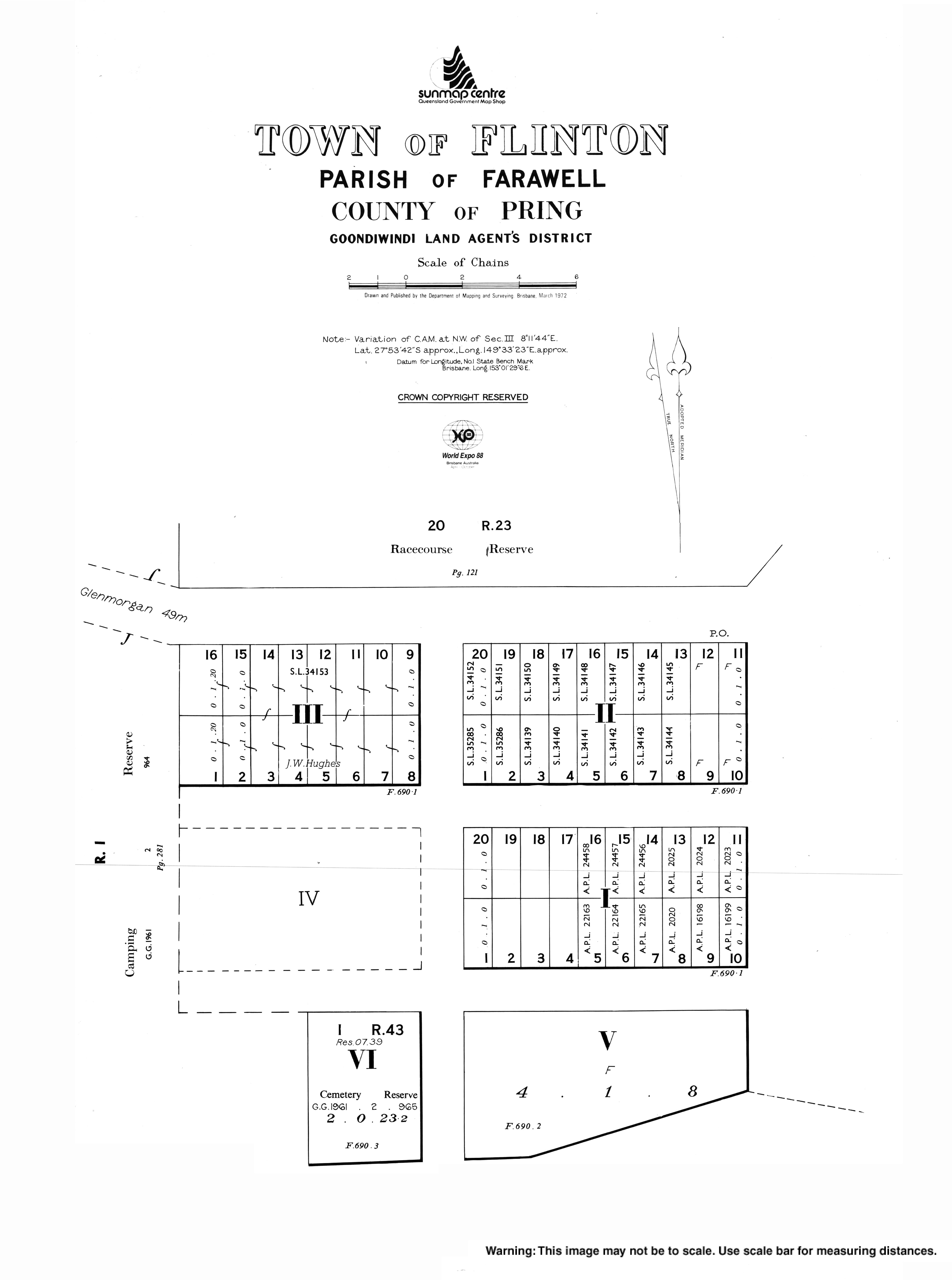
The Flinton Race Club hold horse-racing events at the Flinton Racecourse on Grills Road (27°53′16″S 149°33′40″E / 27.8879°S 149.5611°E).[6]
References[]
- ^ a b c Australian Bureau of Statistics (27 June 2017). "Flinton (SSC)". 2016 Census QuickStats. Retrieved 20 October 2018.

- ^ a b "Flinton – town in Western Downs Region (entry 48130)". Queensland Place Names. Queensland Government. Retrieved 19 September 2020.
- ^ "Flinton – locality in Western Downs Region (entry 50014)". Queensland Place Names. Queensland Government. Retrieved 19 September 2020.
- ^ a b c d "Queensland Globe". State of Queensland. Retrieved 29 October 2020.
- ^ Queensland Family History Society (2010), Queensland schools past and present (Version 1.01 ed.), Queensland Family History Society, ISBN 978-1-921171-26-0
- ^ "Flinton Race Club". Racing Queensland. Archived from the original on 1 November 2020. Retrieved 29 October 2020.
External links[]
- Towns in Queensland
- Western Downs Region
- Localities in Queensland