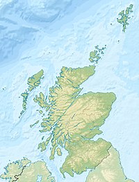
Garvald, Scottish Borders
Coordinates: 55°45′06″N 3°01′42″W / 55.75167°N 3.02833°W

Garvald (Scots: Garvit)[1] is a hamlet on the B7007, near Dewar, by the , in the Moorfoot Hills, in the Scottish Borders area of Scotland, in the former Peeblesshire.
Places nearby include Borthwick Hall, Heriot, the Leithen Water, Peatrig Hill, and Peebles.
See also[]
- Garvald, East Lothian
- Garvald, South Lanarkshire
- List of places in the Scottish Borders
- List of places in Scotland
References[]
- The geographic coordinates are from the Ordnance Survey.
- Barrowman, C (1997) 'Garvald Burn (Linton parish), chert scatter'.
- Barrowman, C (2000), 'Garvald Burn, Scottish Borders (Garvald parish), late Mesolithic chert scatter and knapping floor'.
External links[]
| Wikimedia Commons has media related to Garvald, Scottish Borders. |
- RCAHMS record of Garvald Burn
- Historic Environment Scotland. "Ingraston House; Garvald House (50028)". Canmore.
- Geograph image: Railway shed, Garvald, with view of Heriot Water
Categories:
- Villages in the Scottish Borders
- Scottish Borders geography stubs