Holåbreen
| Holåbreen | |
|---|---|
 Location of the glacier | |
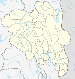
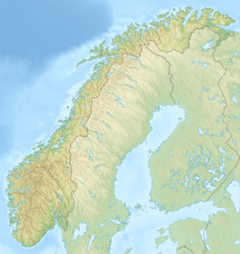
| Location | Vestland and Innlandet, Norway |
| Coordinates | 61°45′24″N 7°54′09″E / 61.75667°N 7.90250°ECoordinates: 61°45′24″N 7°54′09″E / 61.75667°N 7.90250°E |
| Area | 20 km2 (7.7 sq mi) |

Holåbreen is a glacier in the municipalities Skjåk (in Innlandet county) and Luster (in Vestland county) in Norway. Located in the mountain range Breheimen, it has a total area of about 20 square kilometres (7.7 sq mi).[1]
See also[]
References[]
- ^ Lauritzen, Per Roger, ed. (2009). "Holåbreen". Norsk Fjelleksikon (in Norwegian). Arendal: Friluftsforlaget. p. 156. ISBN 978-82-91-49547-7.
This Vestland location article is a stub. You can help Wikipedia by . |
This Innlandet location article is a stub. You can help Wikipedia by . |
Categories:
- Glaciers of Innlandet
- Glaciers of Vestland
- Skjåk
- Luster, Norway
- Vestland geography stubs
- Innlandet geography stubs